Great Britain Bike Tour: Part 2 (Glasgow to England)
August 06, 2023
A month on our bicycles, unsupported, spanning the entire isle of Great Britain. Three countries. Five major cities. Tens of thousands of feet of incline. 800ish miles. Literally millions of sheep.
If you missed the previous post, you can find Part 1 here.
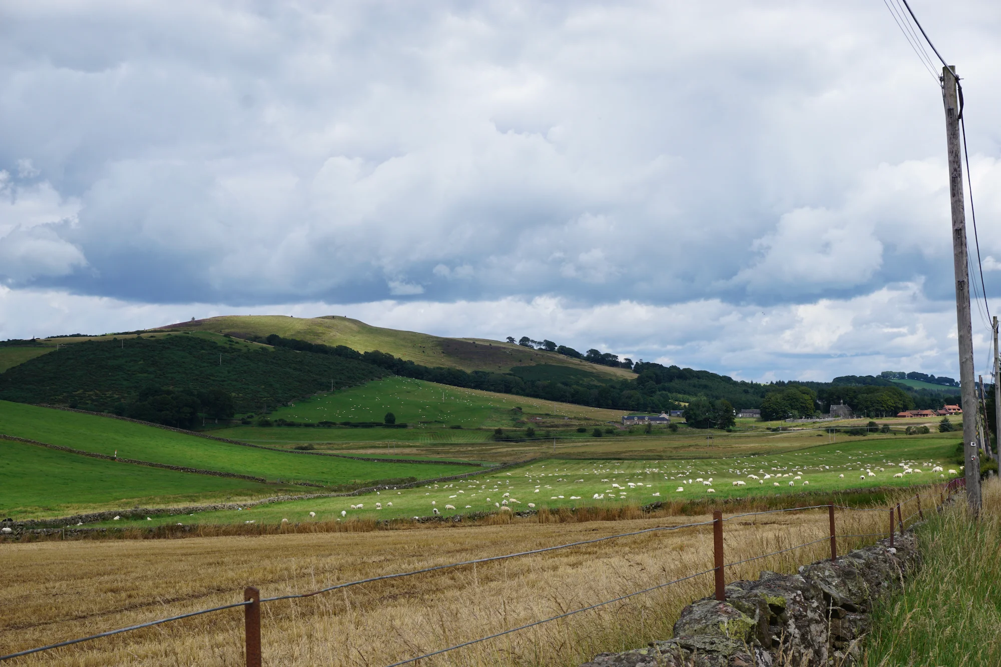
In this post, I'll cover our journey from Glasgow, Scotland, to the English border across quite a few miles of breathtaking, sheep-filled Scotland countryside.
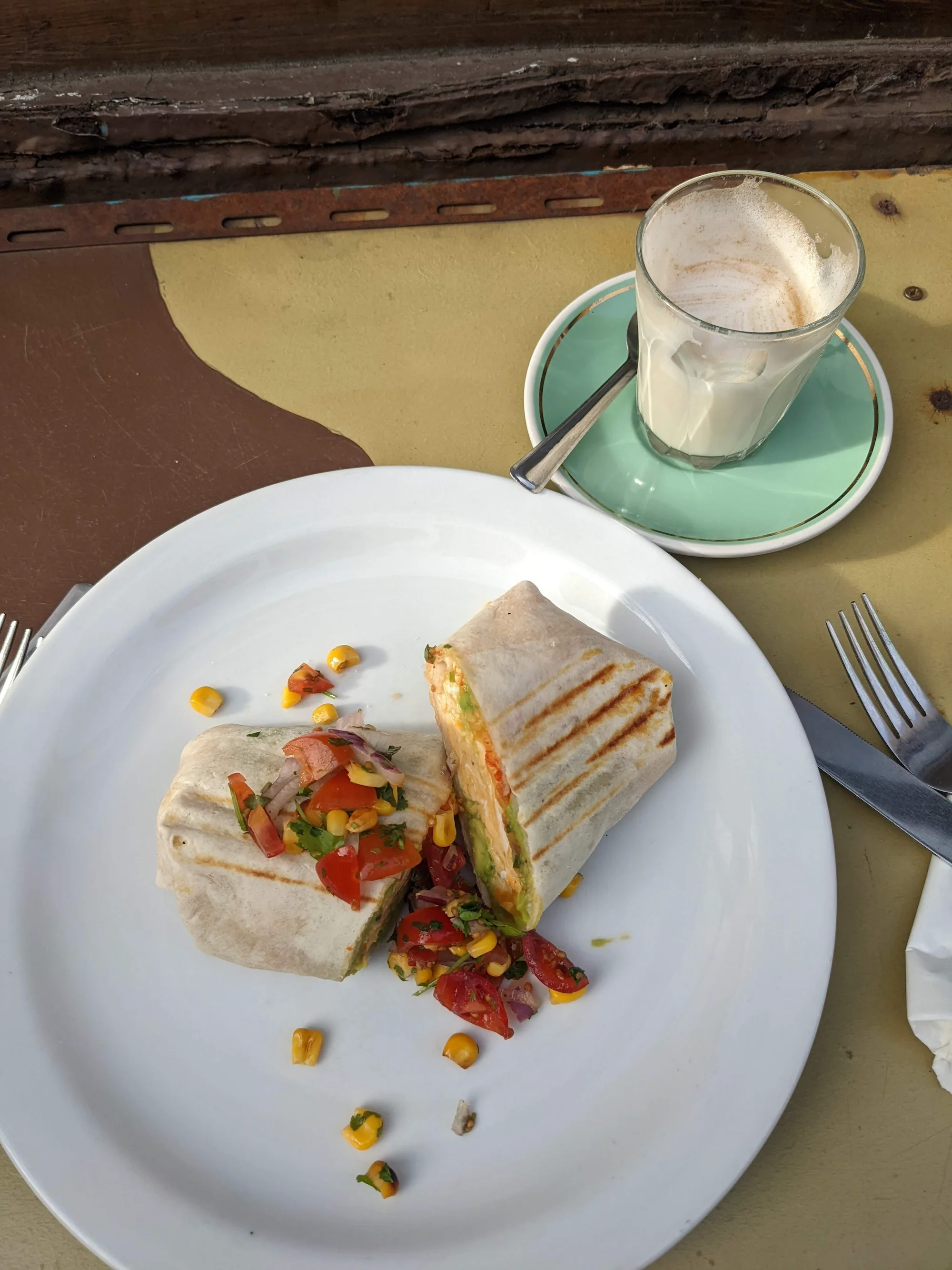
After the serious upper body workout of moving two fully loaded bicycles down 3 flights of stairs in our hotel, I was rewarded with a well-steamed flat white and a very filling (and unexpectably photogenic) breakfast burrito at Spitfire Espresso.
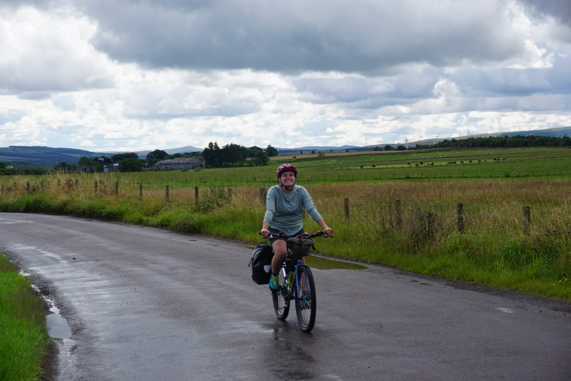
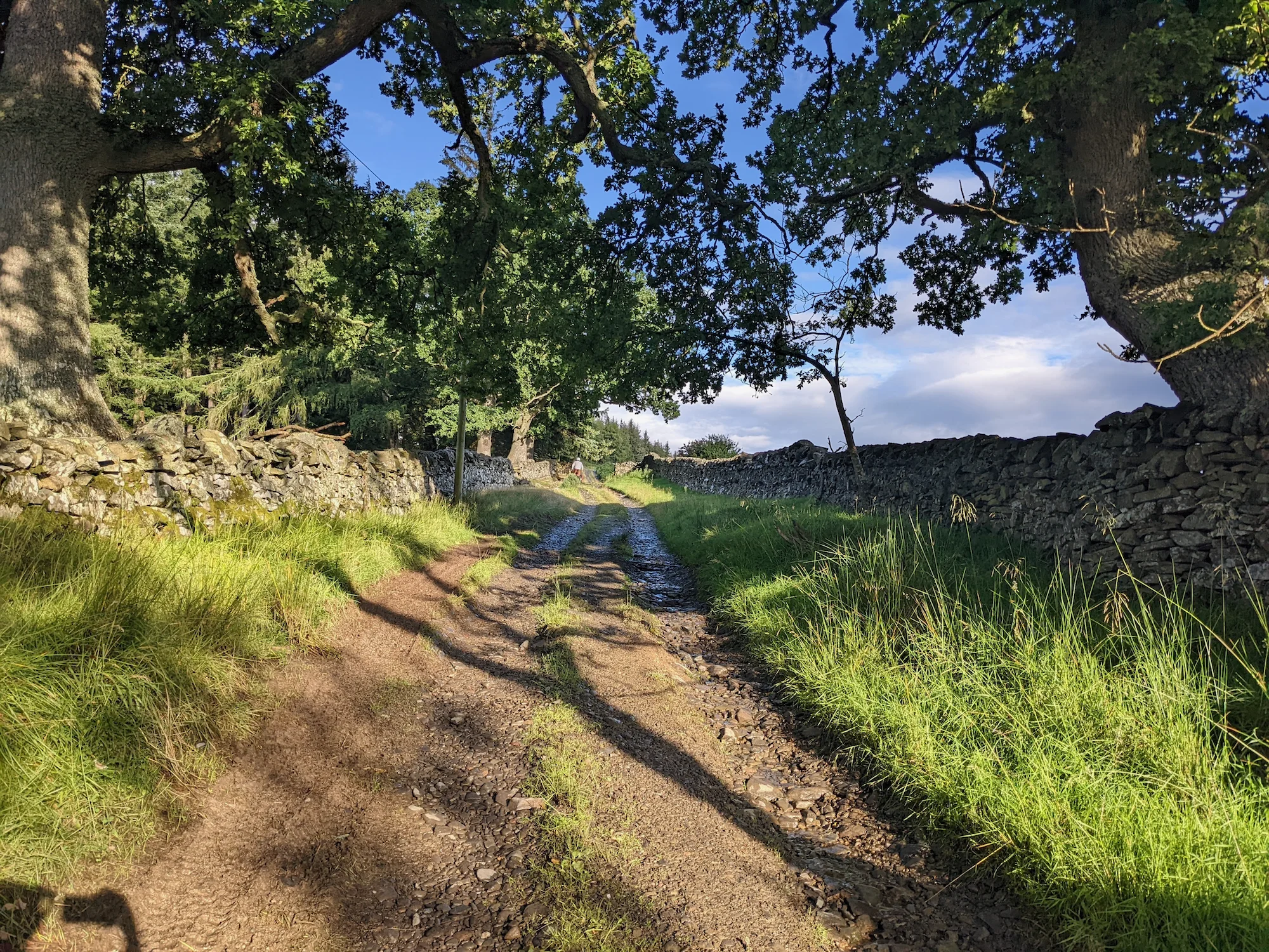
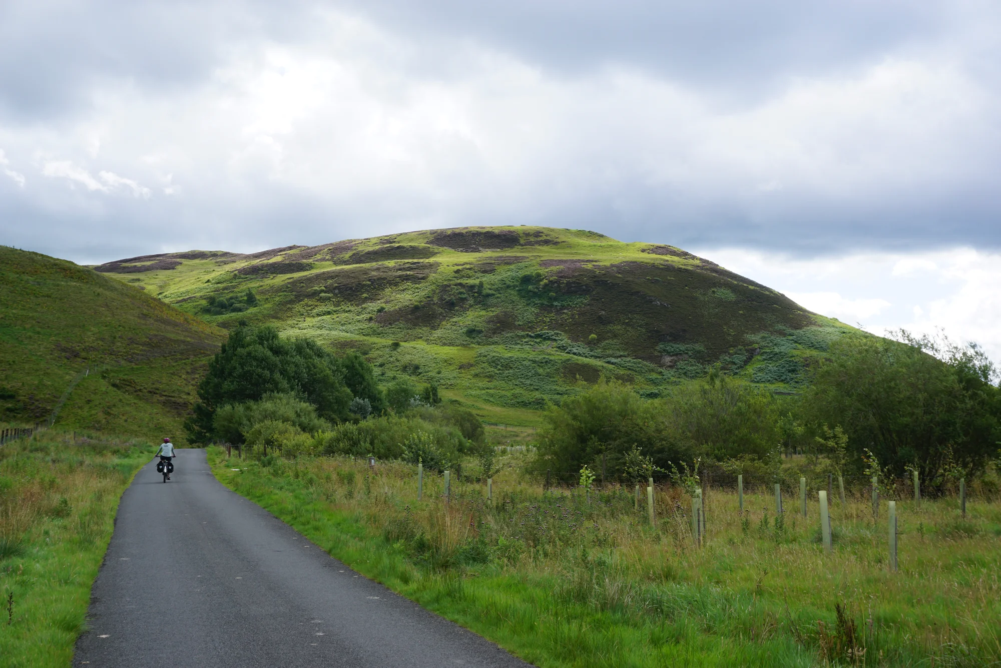
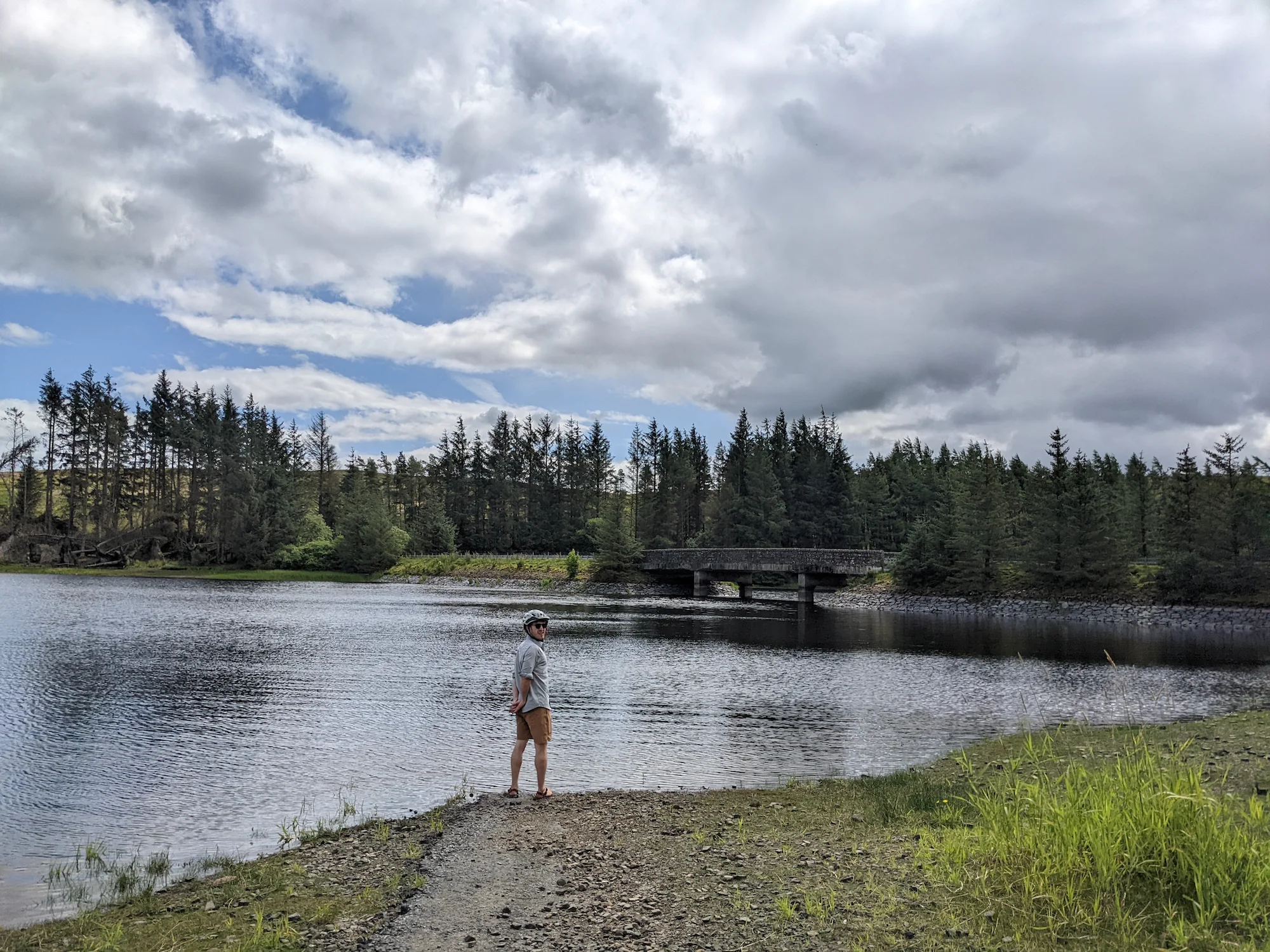
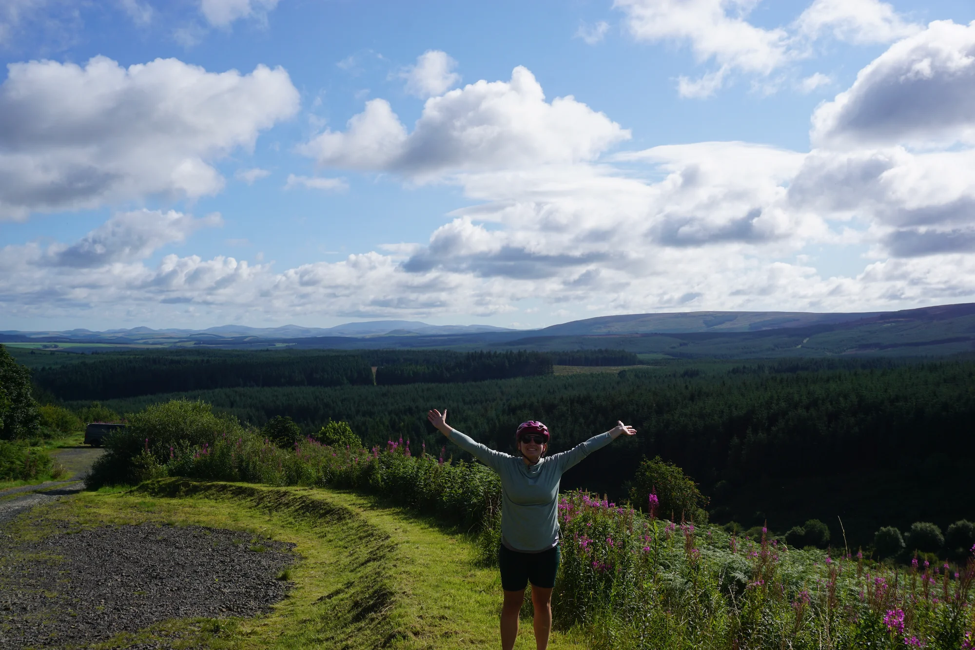
After loading up with breakfast, we backtracked east on cycle route 75 out of the city centre, then turned south on cycle route 74 to start making our way up through the hills and high country into England. We cycled on, spurred by fantastic weather and increasingly lumpy landscapes.
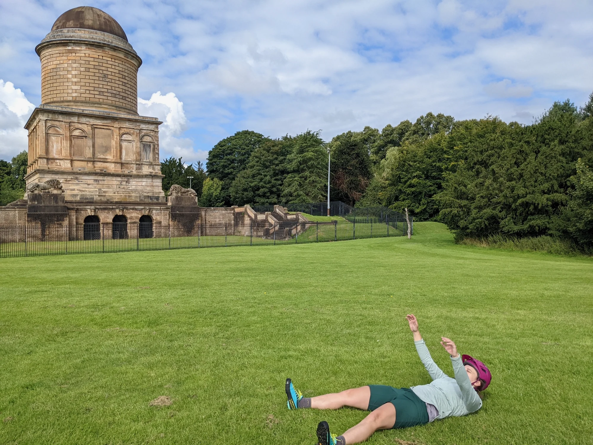
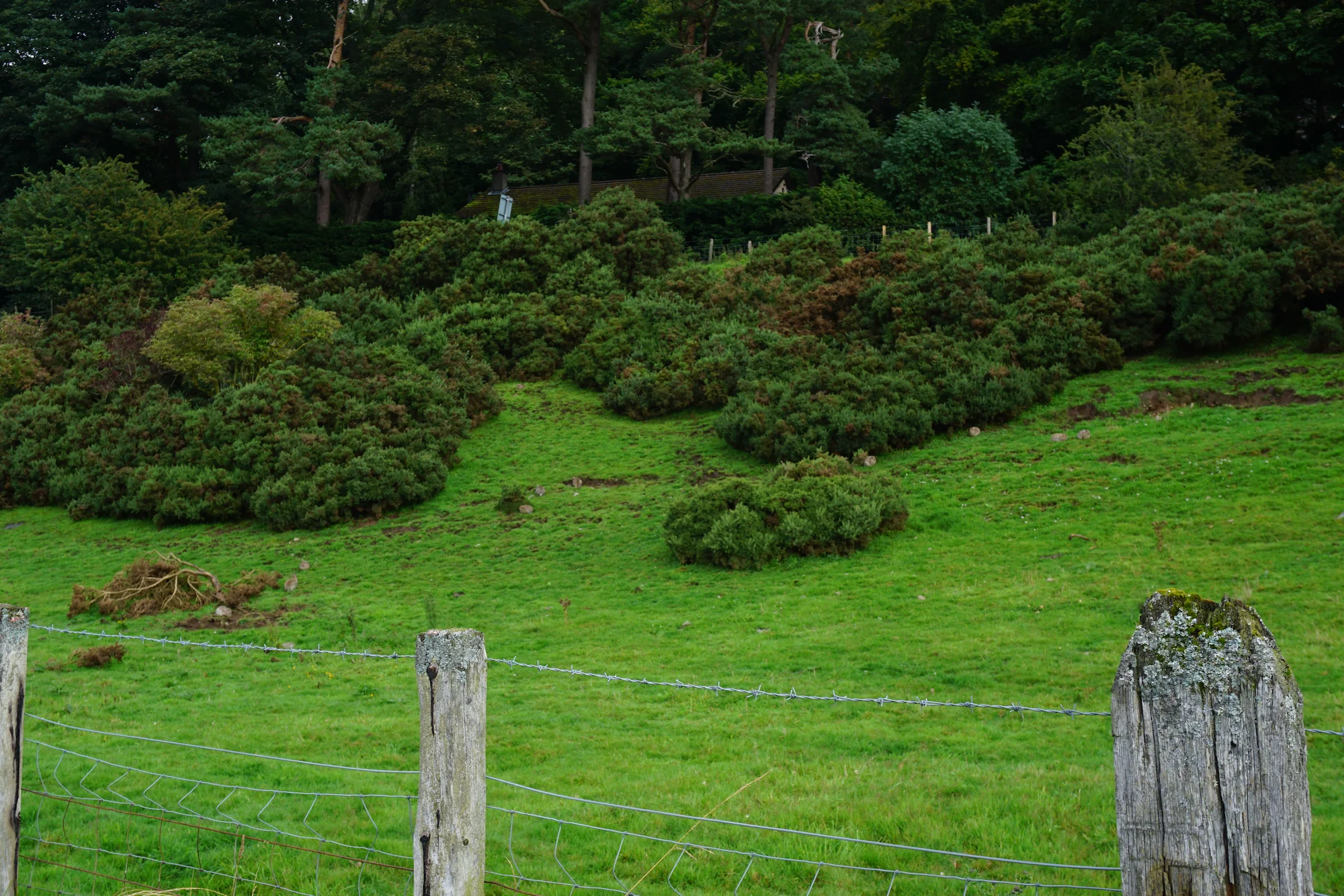
We saw a weird building.
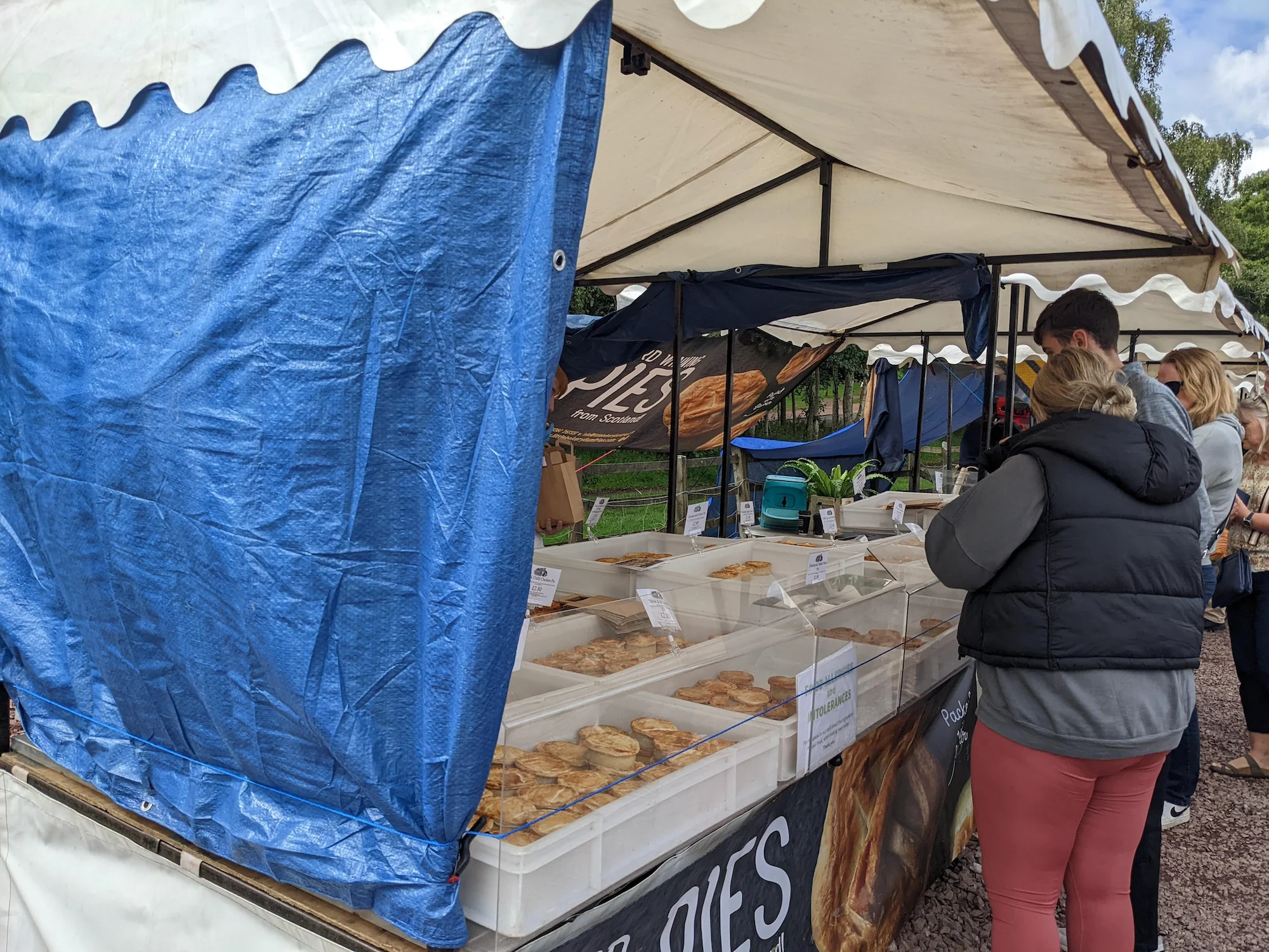
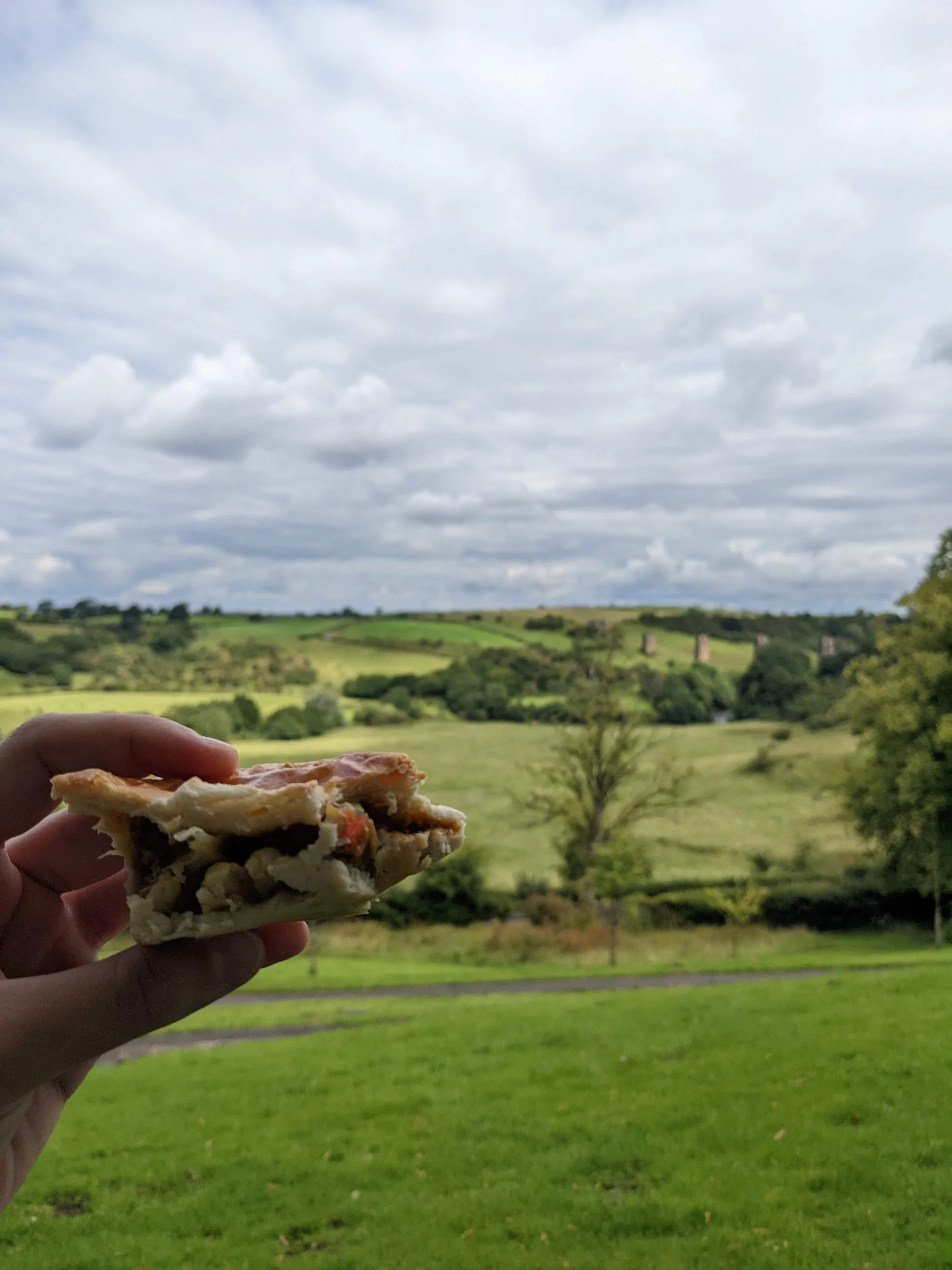
We stumbled upon a very cute farmers market, and picked up a collection of savory pies (haggis, steak, curry chicken, and mushroom) to keep us fueled on the route.
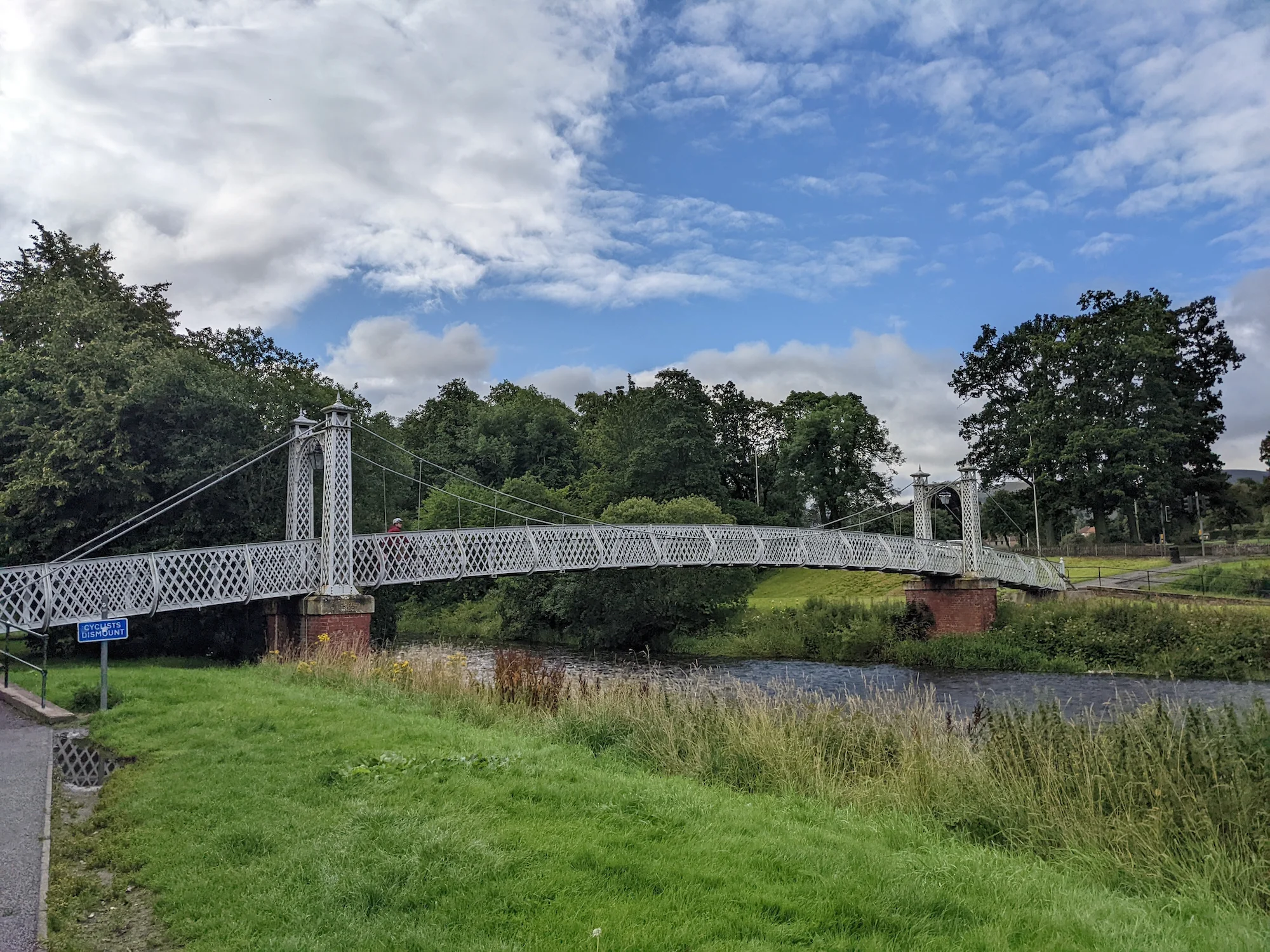
We stopped for a pie break next to a very cool gazebo with a gorgeous view of a defunct rail bridge.
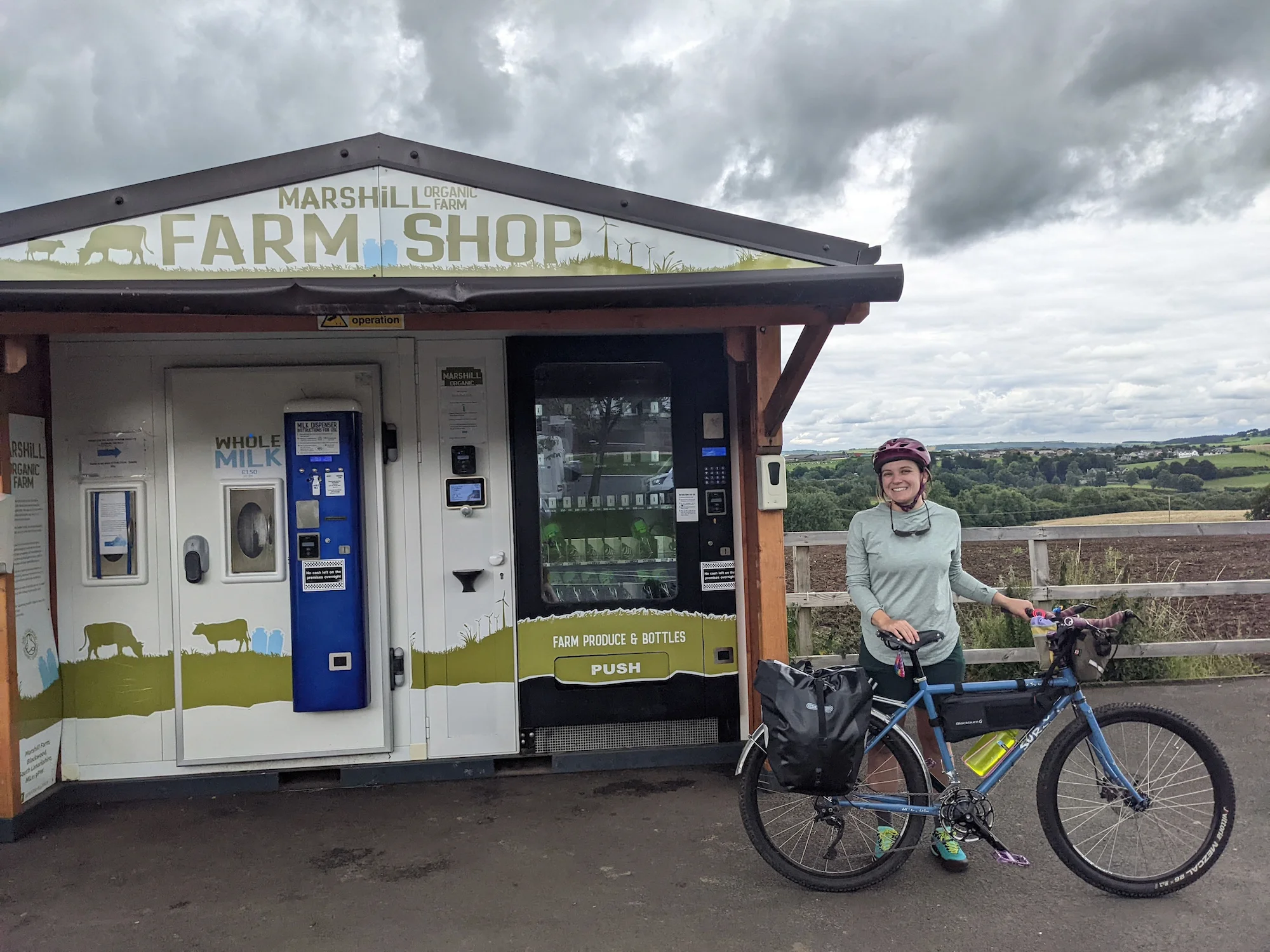
We debated stopping for milk at a fully automated milk dispenser... but decided we didn't know what we'd do with a giant, heavy glass bottle.
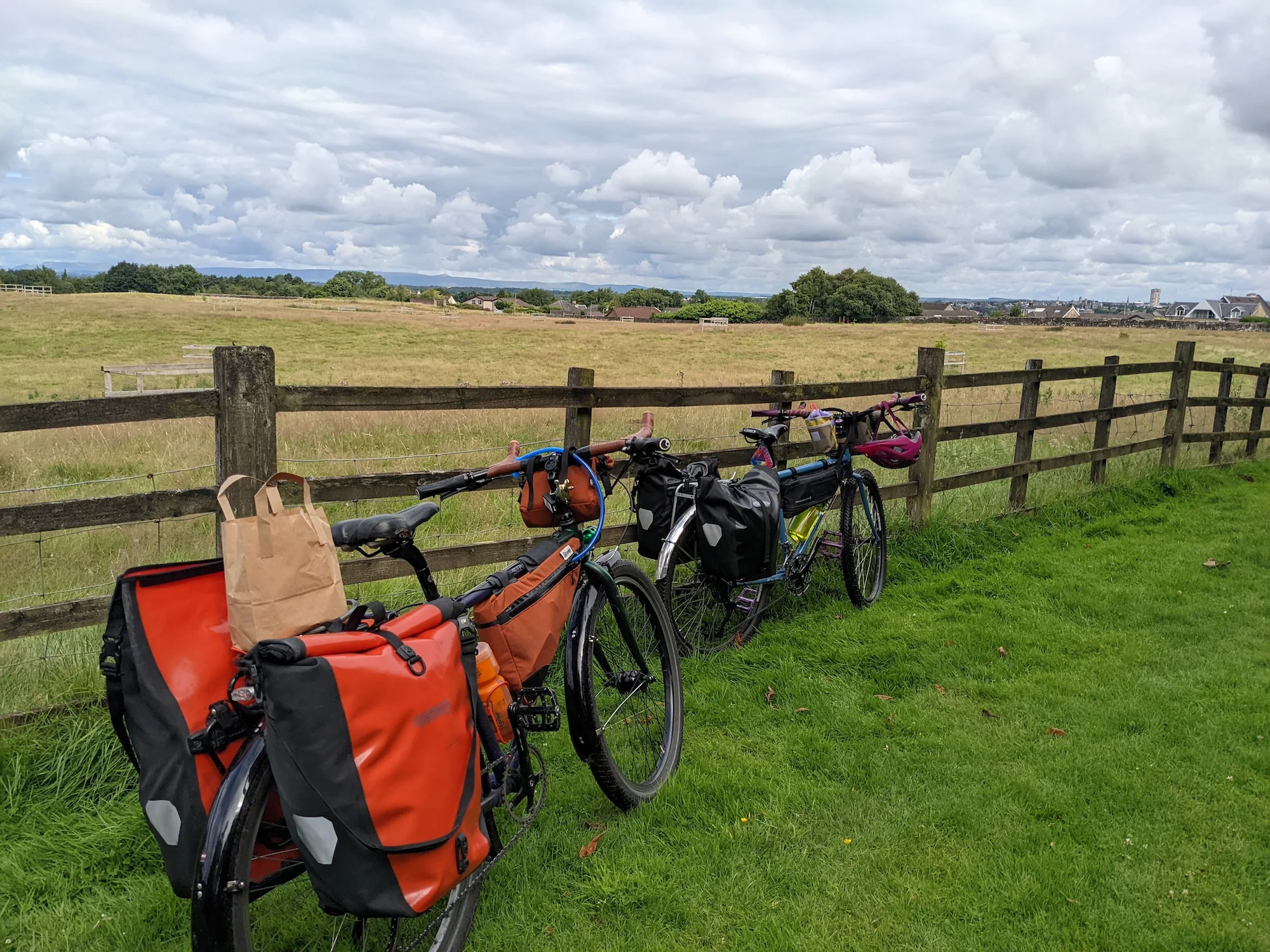
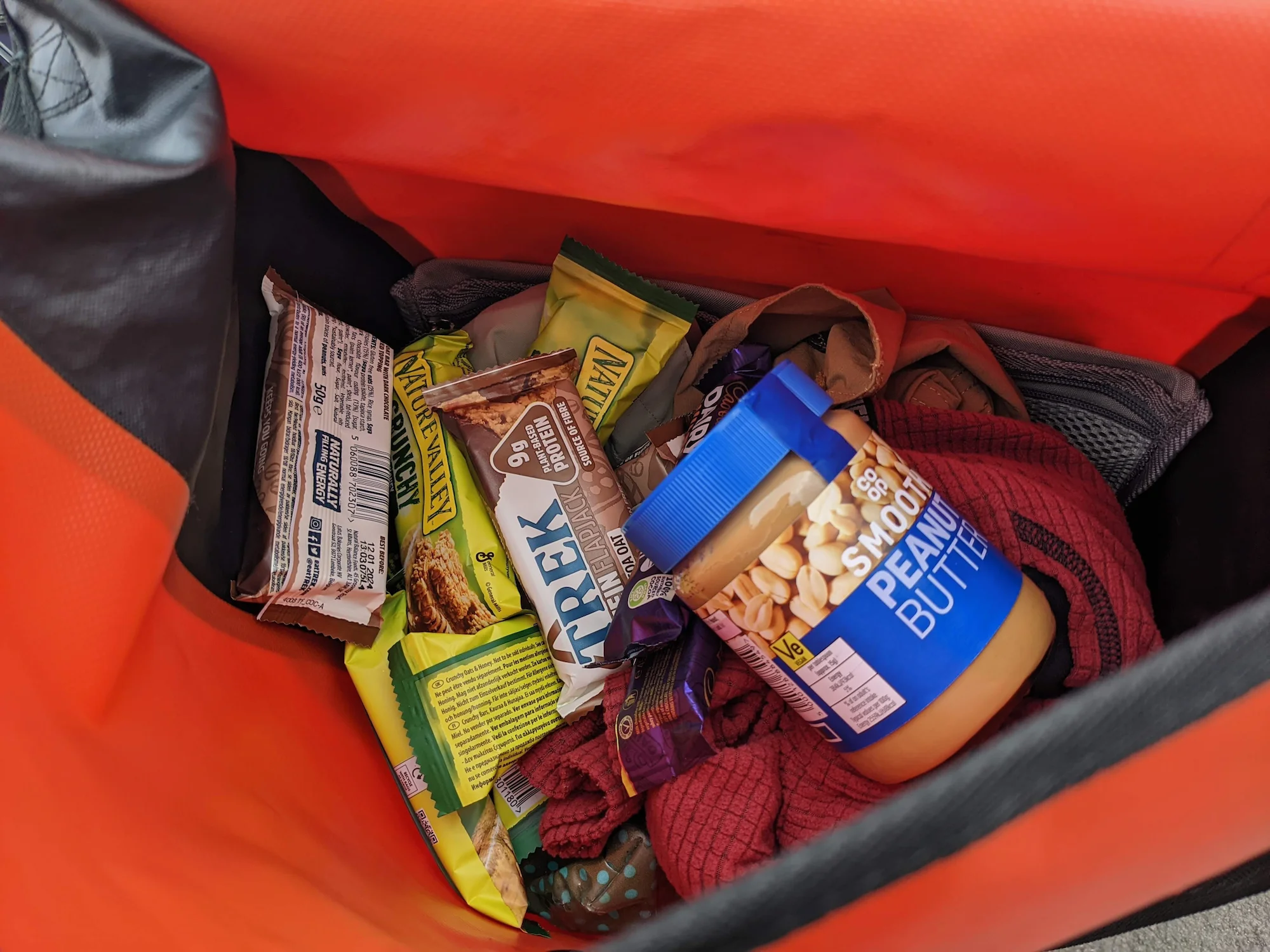
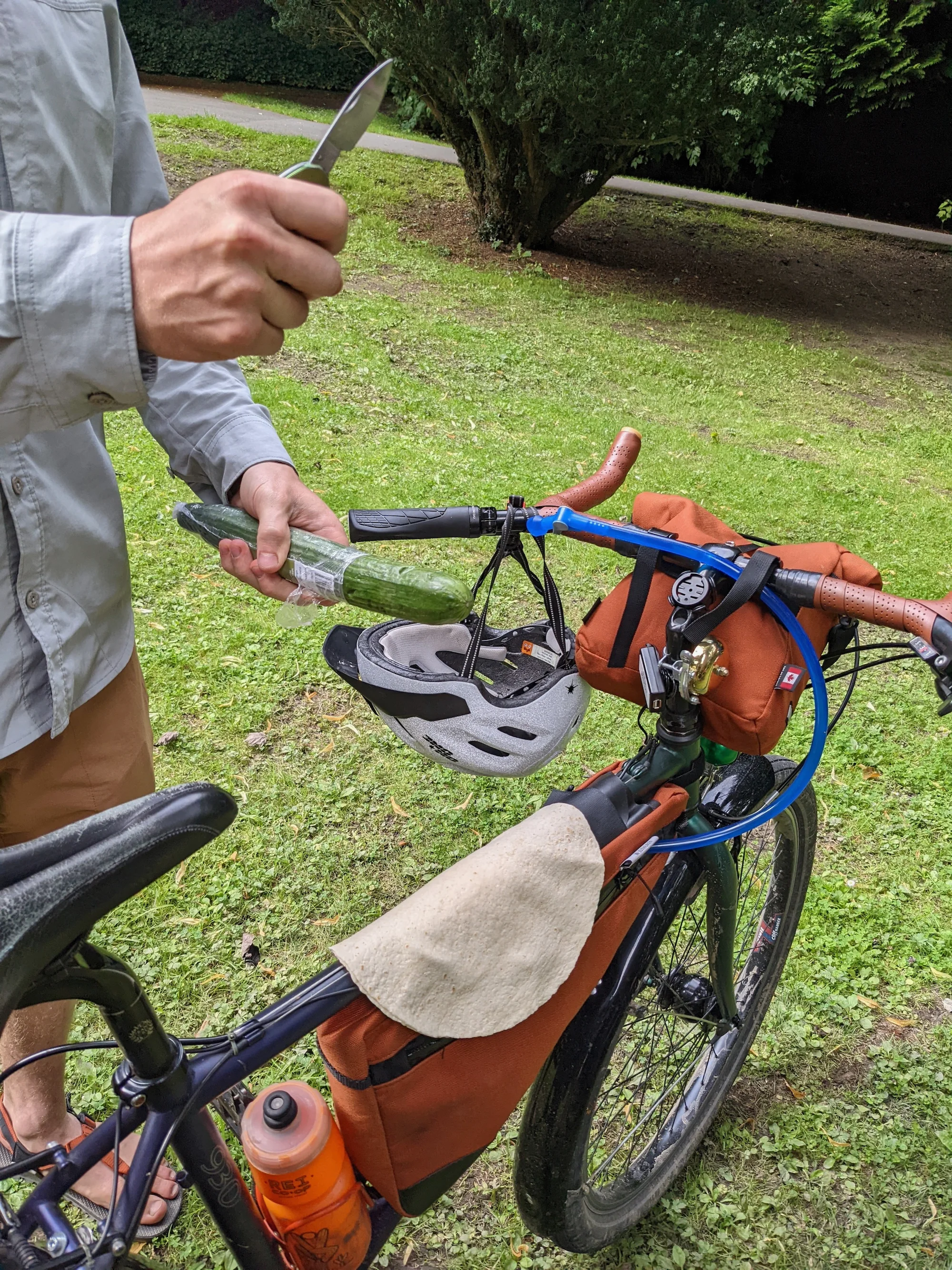
We fueled up with calorie-dense necessities and snacks, since we decided not to bring our cooking equipment on this trip to save weight.
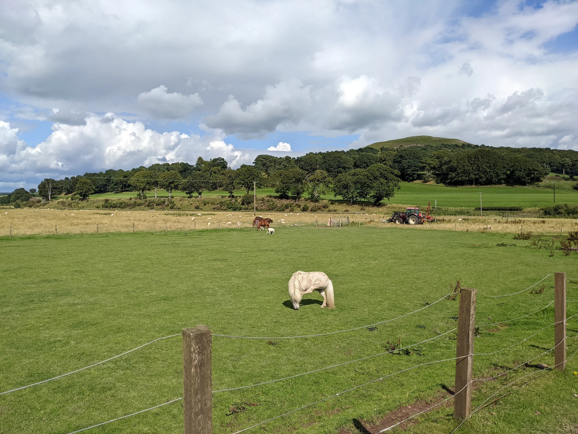
We (politely!) passed some horses on the cycle path.
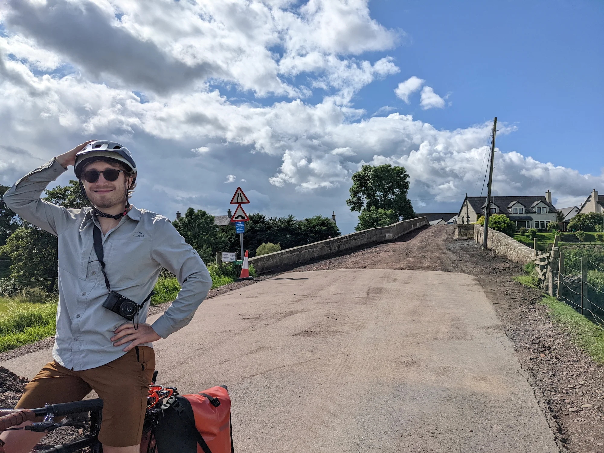
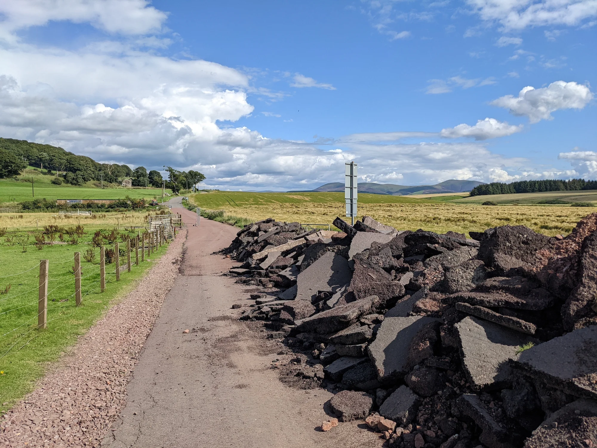
We creatively dealt with roadwork and diversions.
We spotted a tiny horse.
Before long, we deviated from the cycle route toward Biggar, following Bikepacking.com's "Great British Divide" route. This was our second, and perhaps most major mistake of the entire trip: trusting the creator of that route.
Meg enjoyed her first glass of cold Tennents. Unfortunately the tasty-looking Cross Keys Kitchen was shut down, but we ended up going to the Crown Inn instead. The classic pub fare of fish & chips and a katsu curry didn't disappoint.
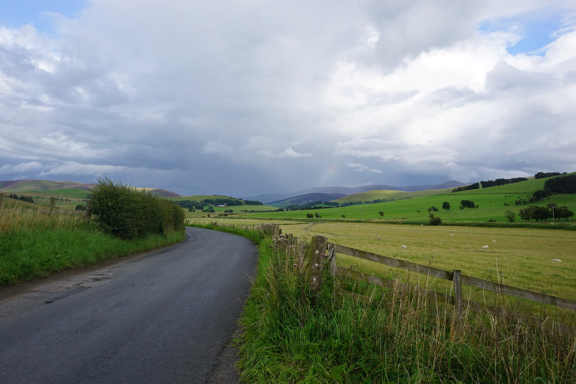
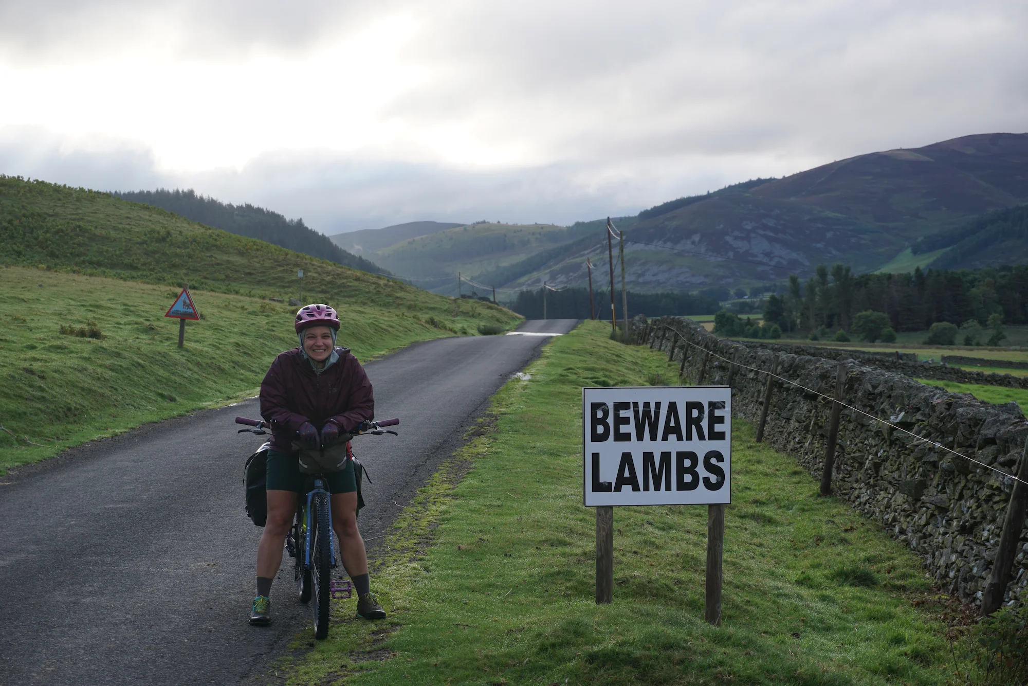
The GB Divide started out fine, maybe better: after Biggar, we wound our way through the most beautiful valley yet, with sweeping views of rivers, sheep, mountains, sheep, hills, sheep, and sheep. There were next to no cars on the road, a small number of cute farmhouses, and hopes were high. But we soon turned down (or up?) a path that our bike computer called an "alley" but that I would generously call a "driveway to a random farmer's house." The path didn't really continue; instead, a meandering sheep path continued into a very overgrown sheep field whose 20% grades resembled the sides of the Great Pyramid of Khufu. On the plus side, it wasn't very muddy, so the only substance smeared on our sandaled feet was sheep poop. Better than horse poop, in my experience.
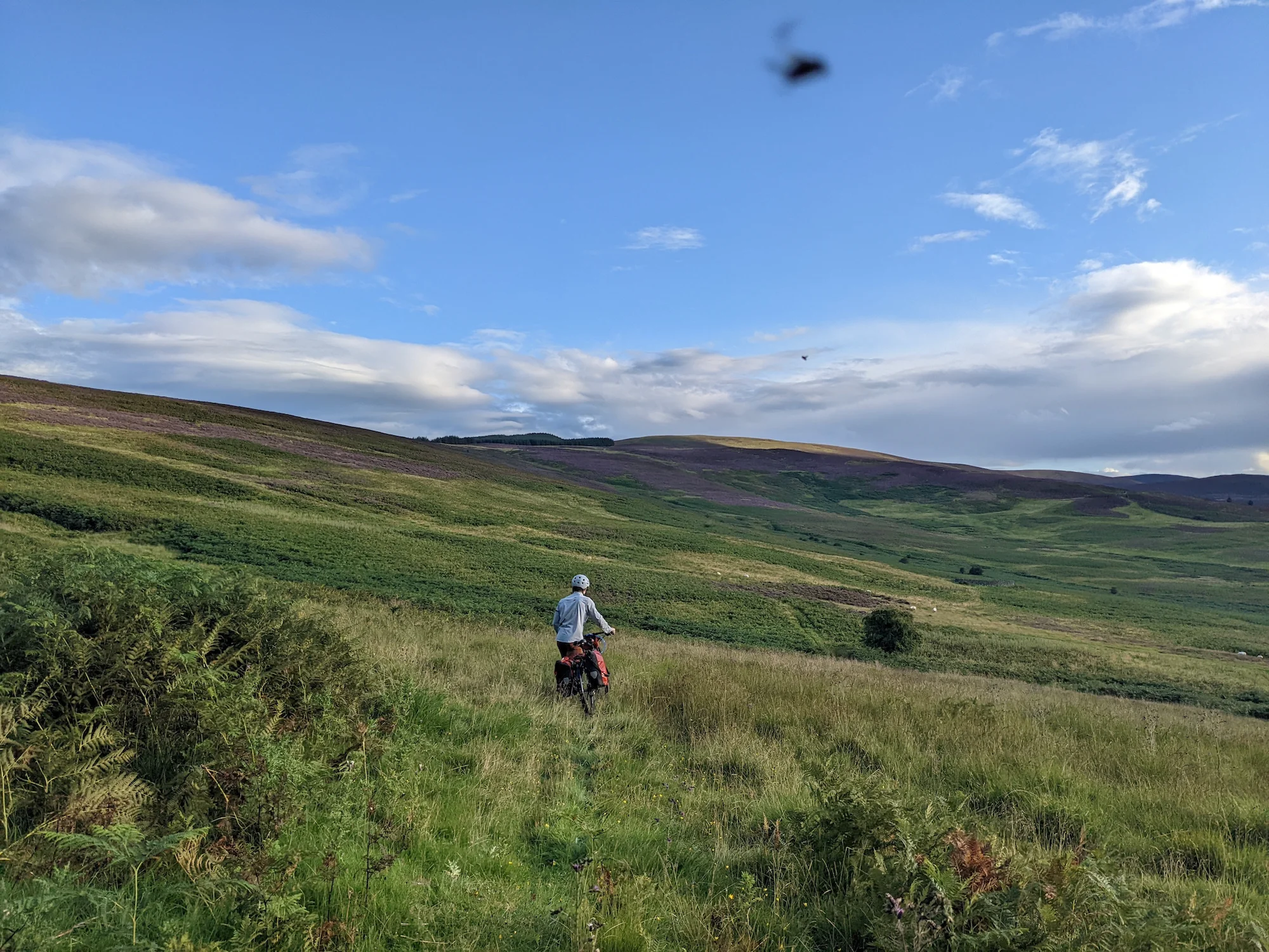
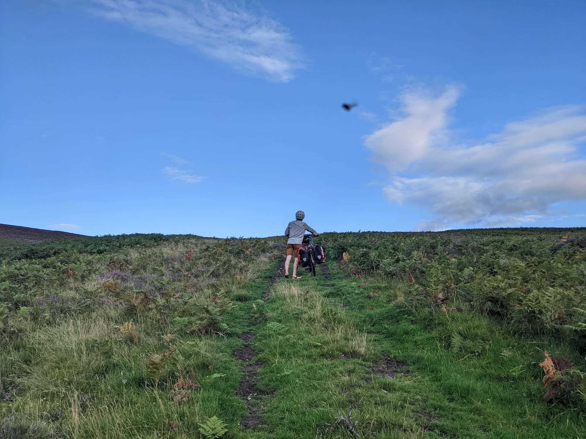
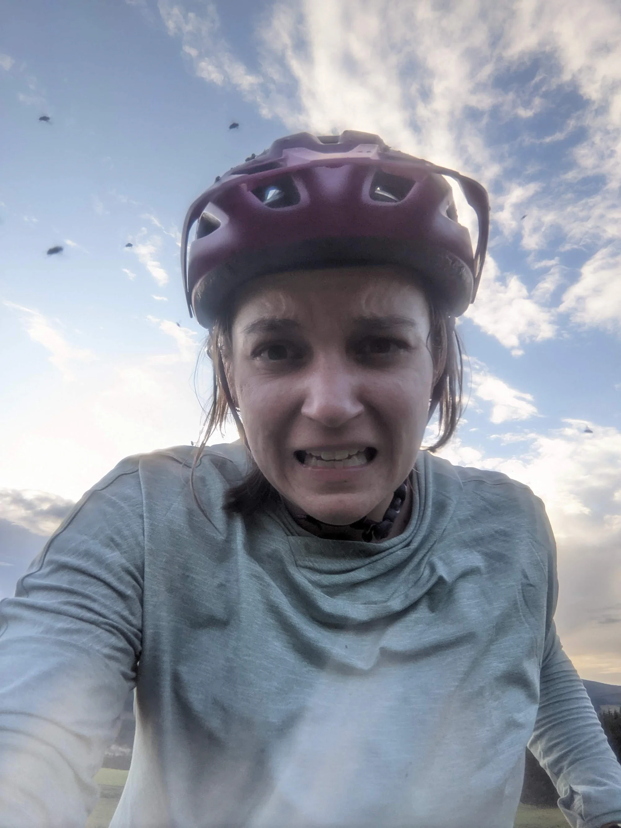
On the minus side, the trail quickly petered out, and we found ourselves pushing our bikes uphill through tall grass, thorny weeds, and occasional stream crossings with only the general direction provided by the bike computer as a guide. All of that would have been fine, if not for the flies. The infernal flies. Have you ever had flies attempt to enter every orifice of your body simultaneously (mouth, eyes, ears, they're crafty creatures)? Have you ever so many flies cling to your bicycle helmet and every bead of sweat on your body that you could feel their weight? Have you ever had so many flies cling to your body that other flies were forced to circle your head like flights waiting to land at an overloaded airport runway? Me neither, because the experience was so miserable I've blocked out the trauma.
But the flies and bushwacking couldn't last forever. After what felt like years (but likely didn't last more than 20 minutes at our pace), we passed through a gate. To give you an idea of what happened to the flies, I'll point you to the end of the flying keys scene from Harry Potter and the Philosopher's Stone.
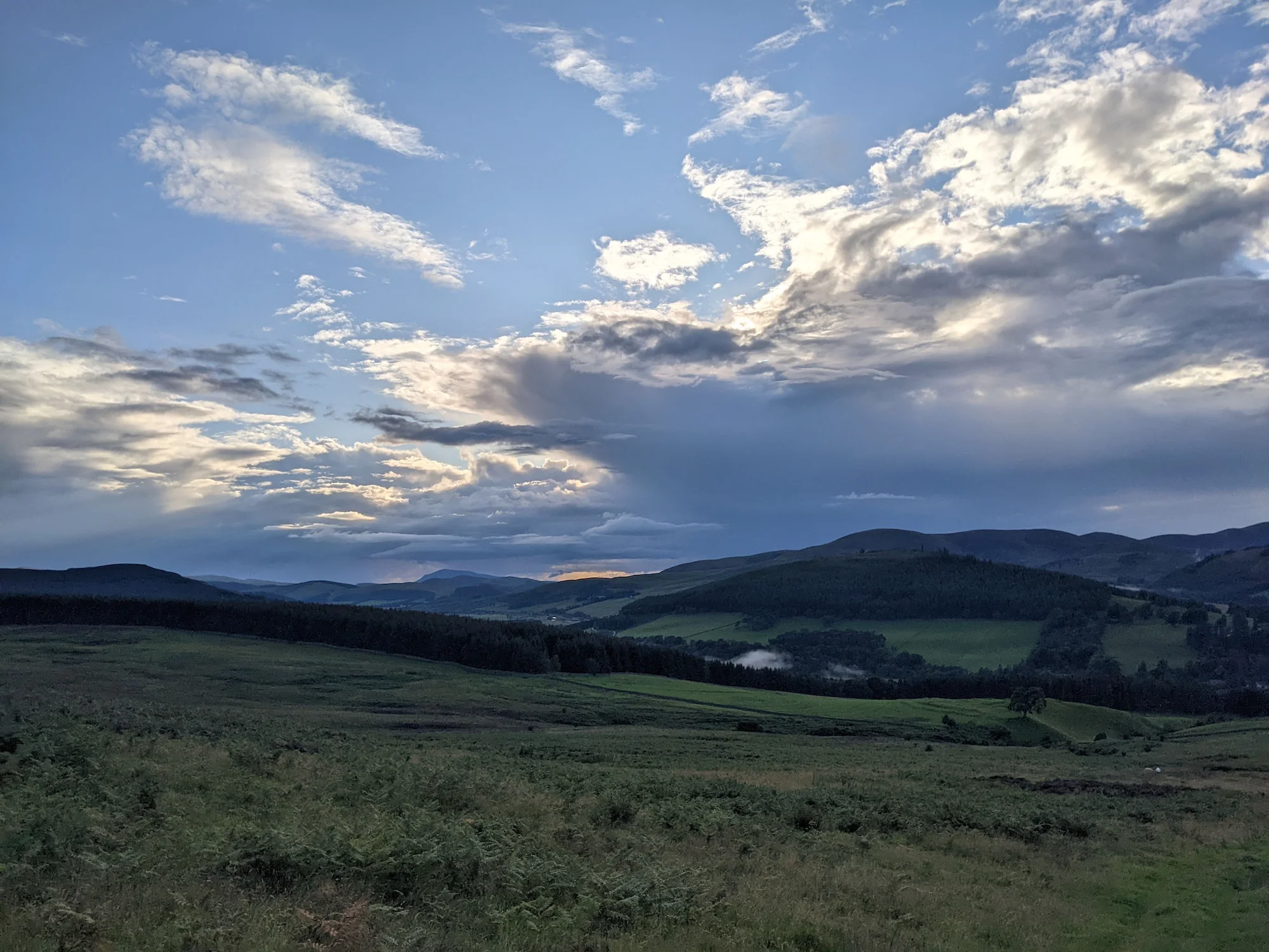
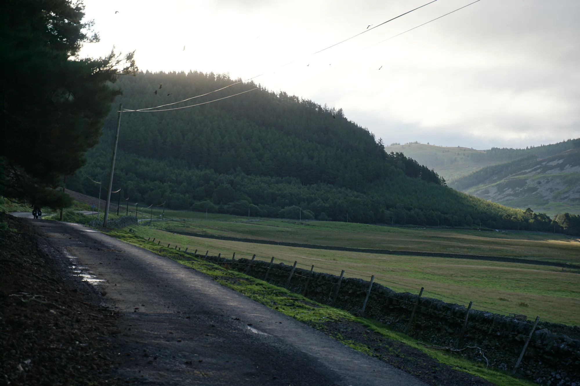
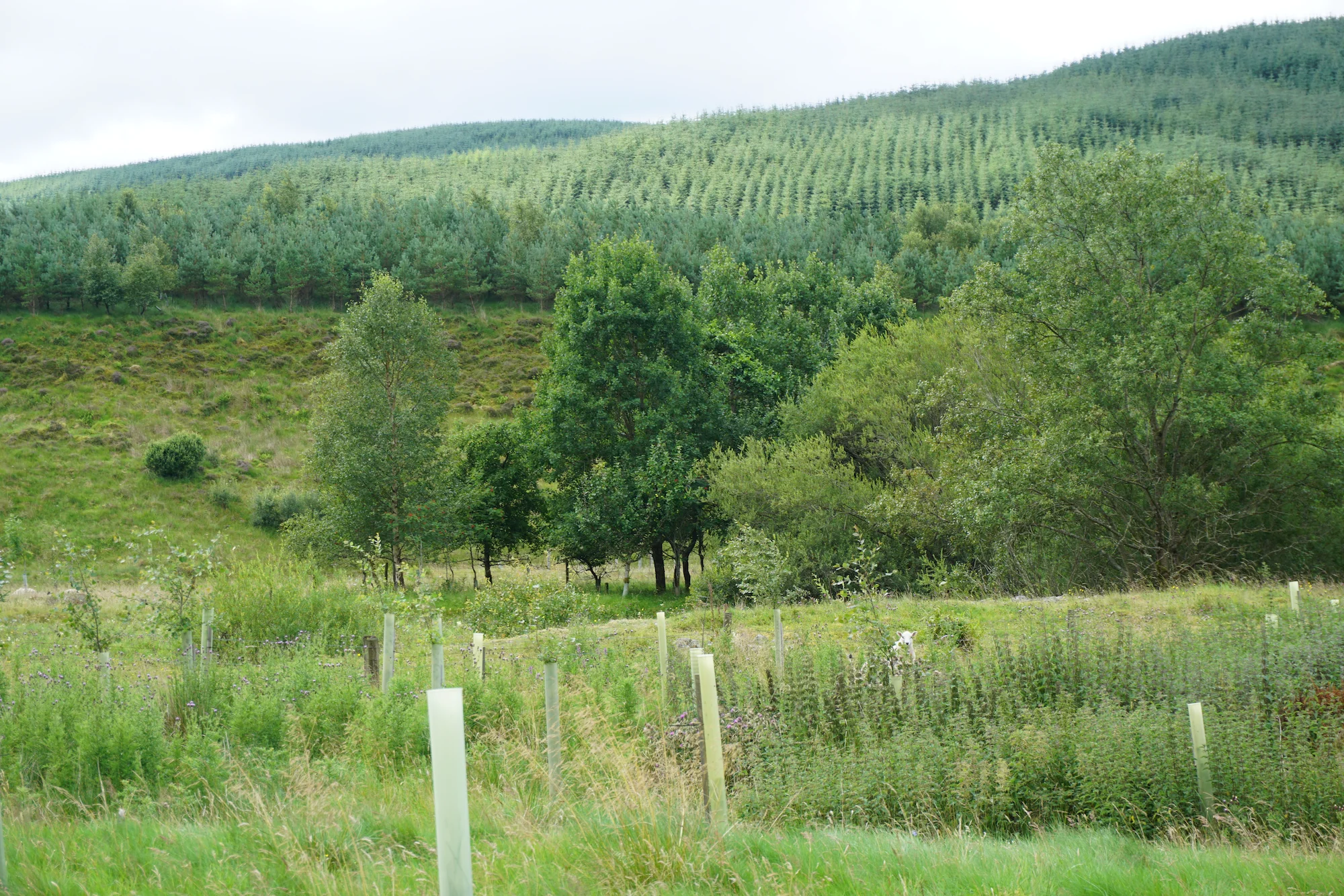
What awaited us on the other side of the gate? What used to be a forest.
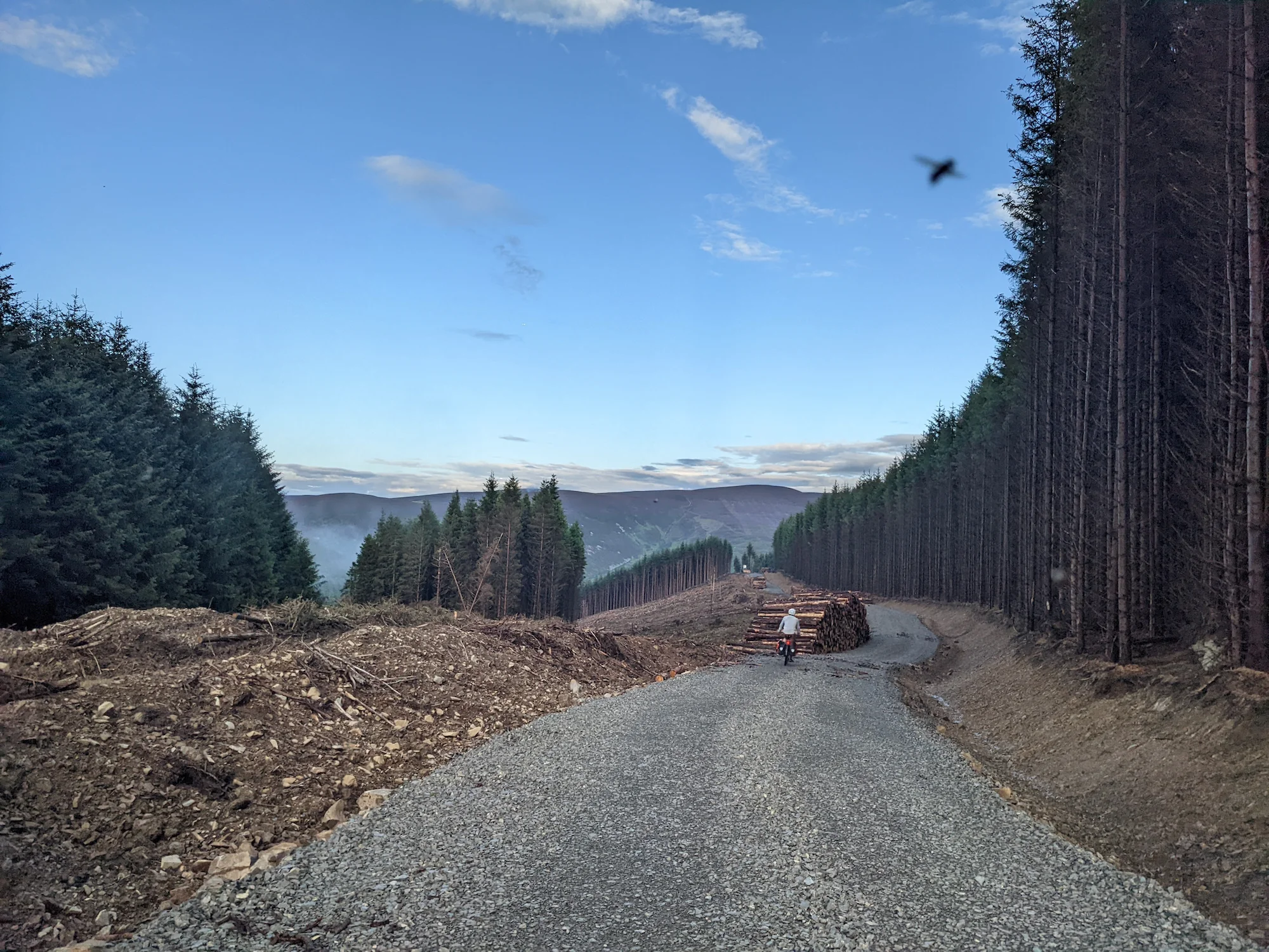
And was now... half a forest. Clearly something was amiss. With the sun slowly setting behind us, we descended through the gravel forestry roads only to discover, facing away from us, a series of signs warning passerby of the DANGER and IMMINENT DEATH and FALLING TREES that inevitably awaited anyone stupid enough to ignore the signs. Of course, there weren't any signs on the gate we passed through. Or perhaps we missed the signs while zooming downhill to lose the few flies that continued to cling to us after the gate. Anyway, we decided that we didn't want to wild camp in the IMMINENT DEATH zone, so we proceeded further downhill to find a wild camping site.
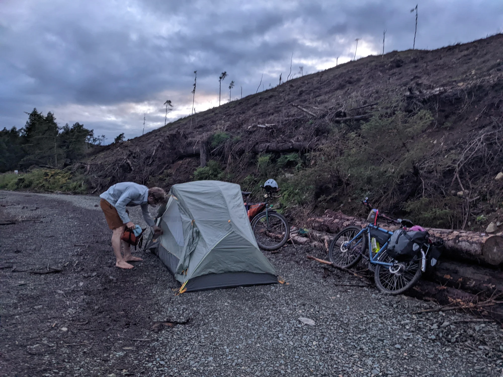
Unfortunately, the route downhill led through some mud that I can only compare to the Fire Swamp quicksand from Princess Bride. Exhausted, our GB Divide dreams in tatters, an even bigger climb through an even steeper sheep field first thing on our route in the morning, we decided to make camp on the side of the gravel forestry road. I am happy to report that there were just enough nonpoisonous plants to clean the muck and mud from my feet before bed (but not enough to clean the deep muck from Meg's riding shoes). It wasn't the sexiest campsite, but it was both legal and free.
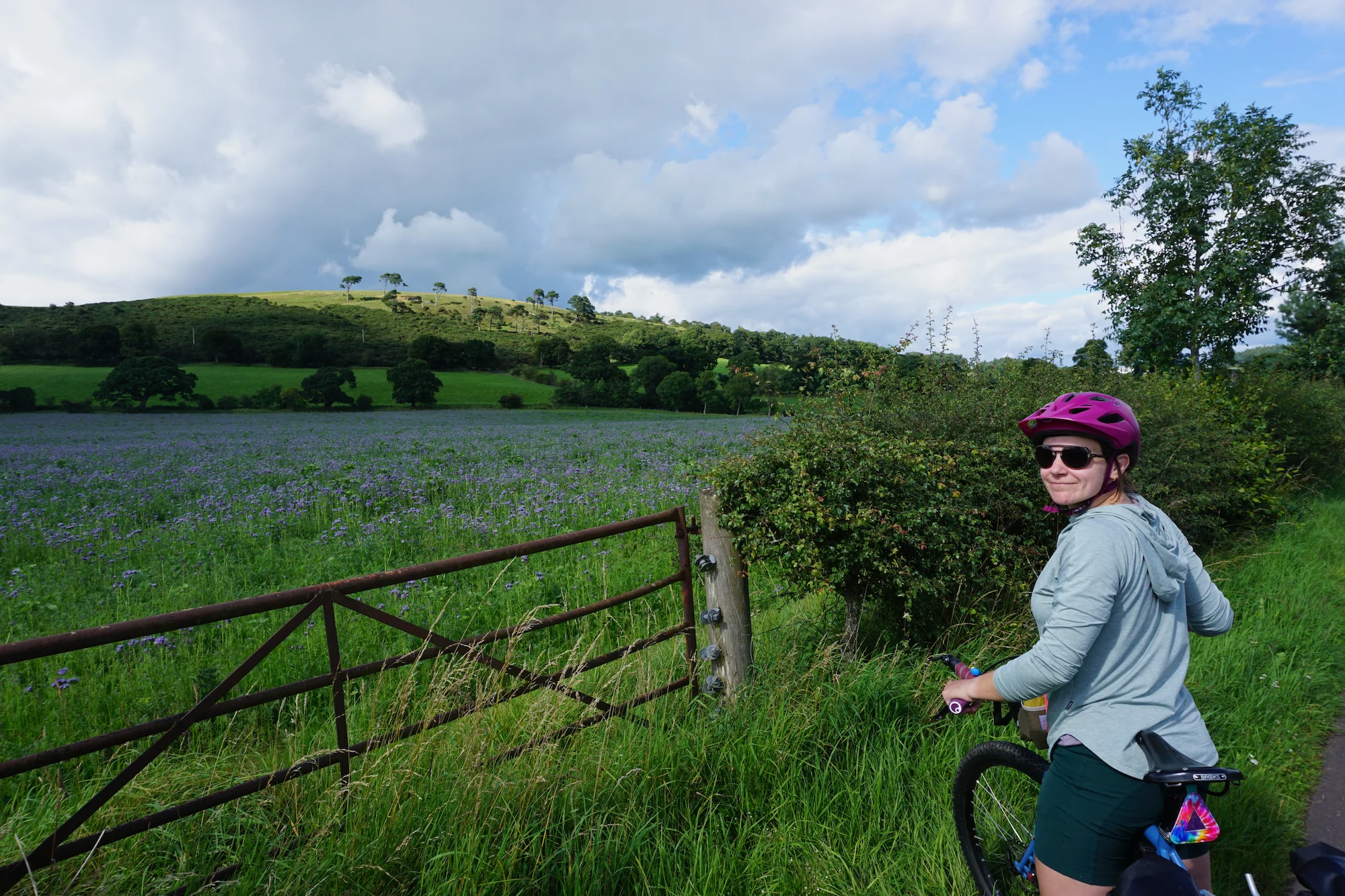
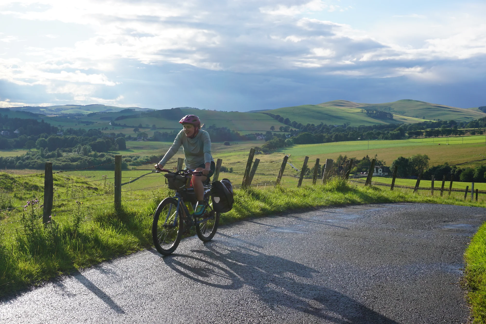
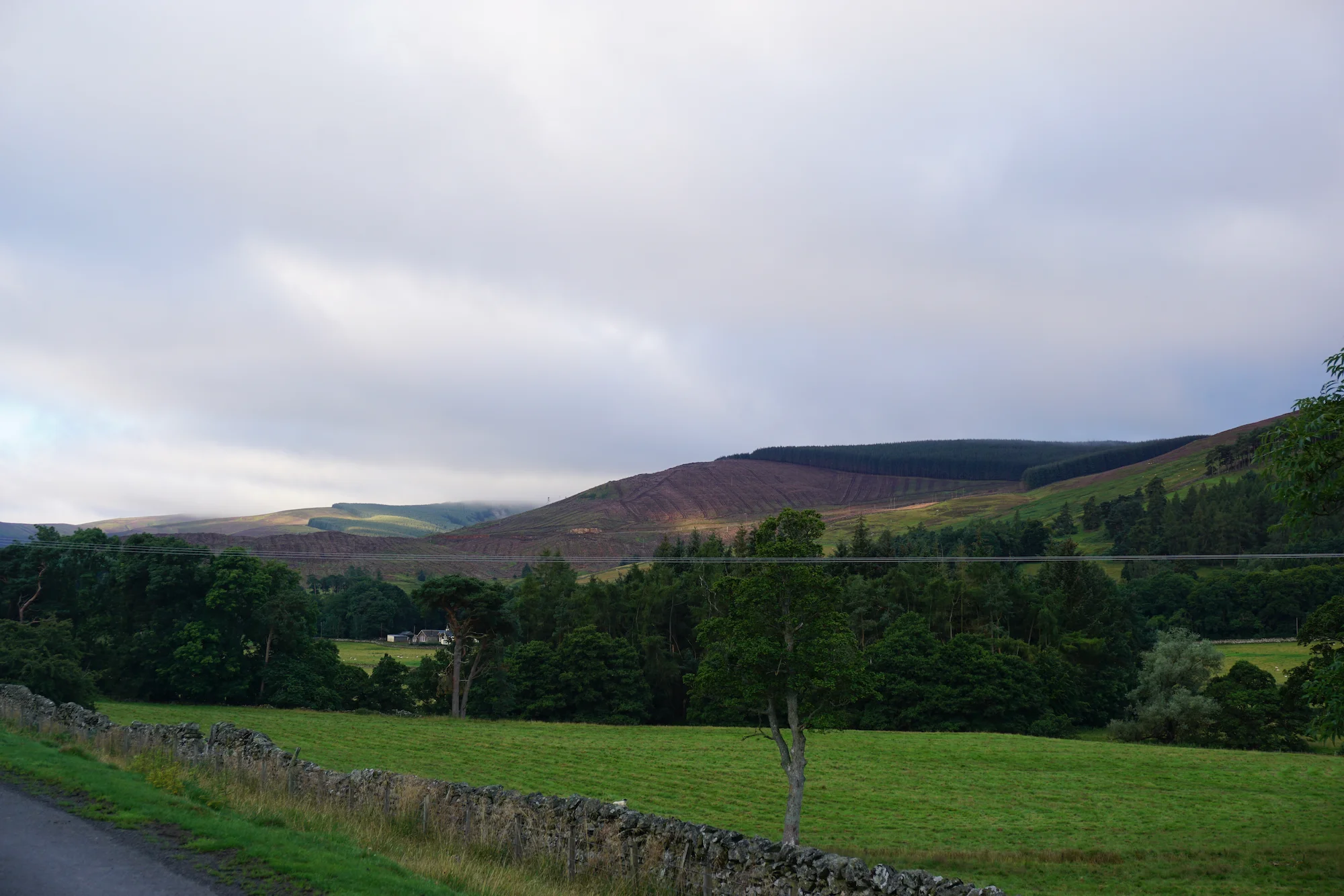
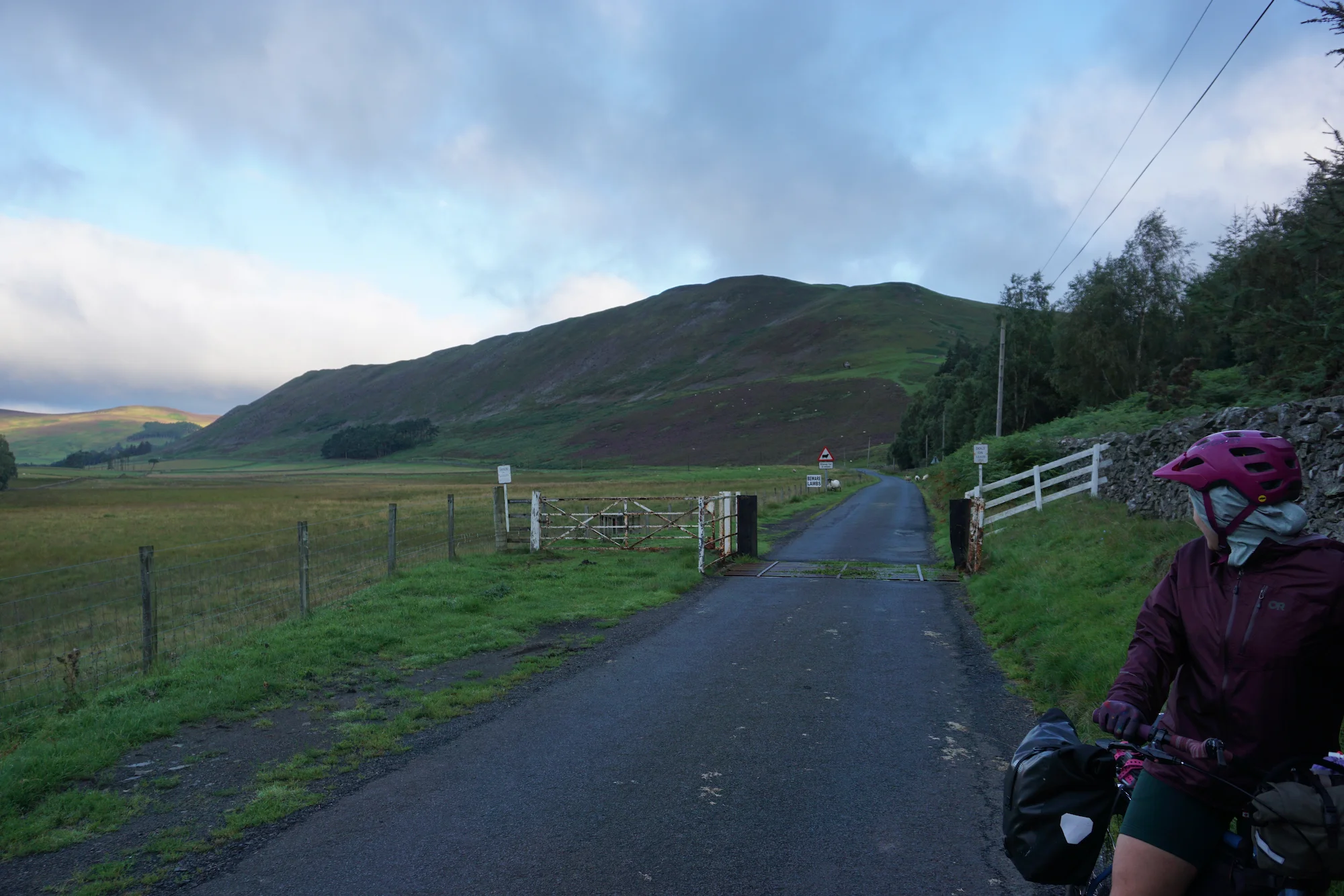
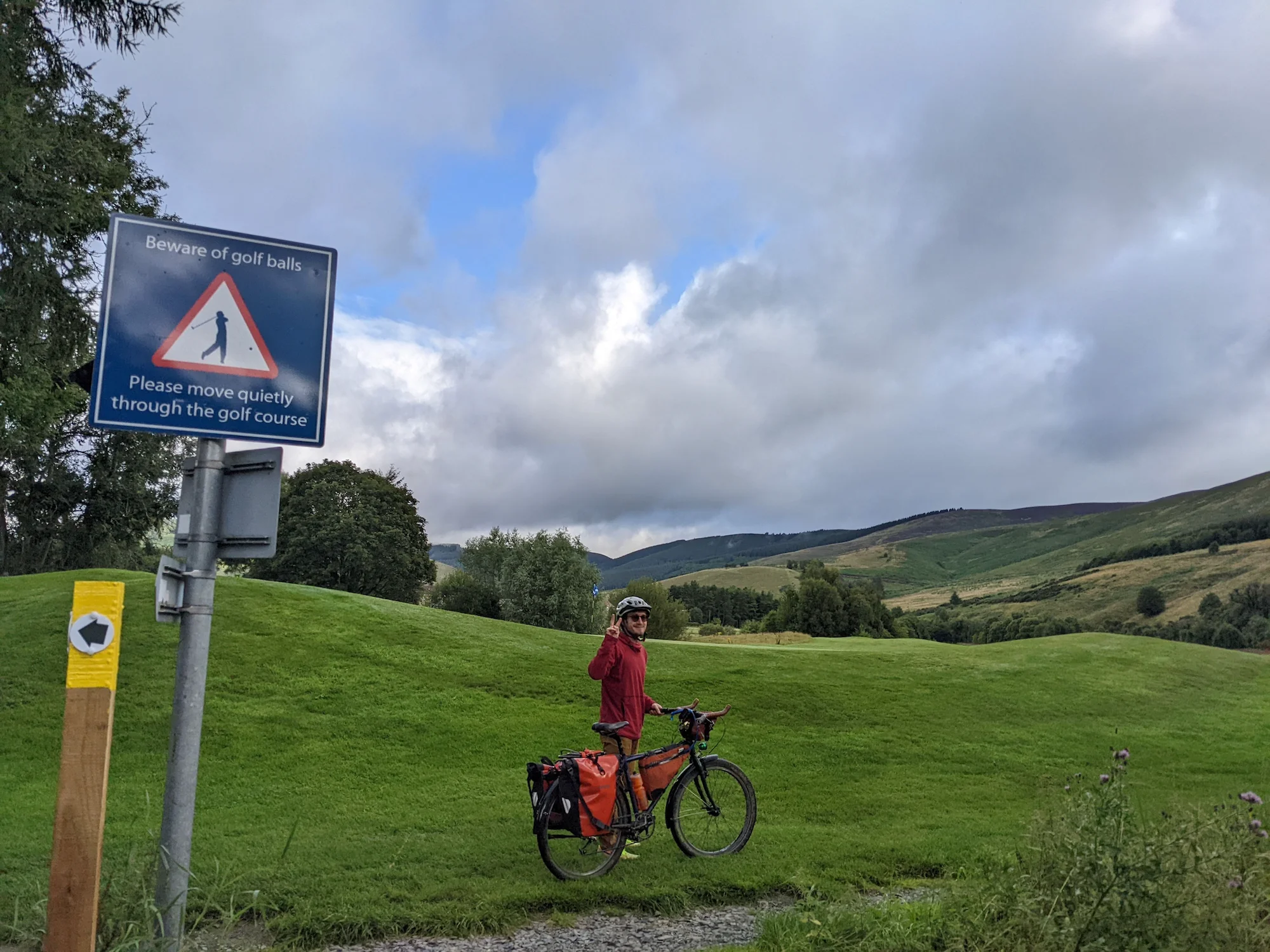
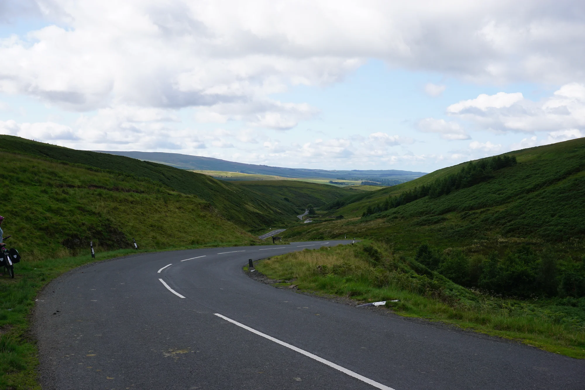
We awoke from fitful sleep (for Meg -- I slept like a rock) early the next morning, anxious to reroute away from the dreaded GB divide "paths". Fortunately, before continuing straight up the side of a steep, unmarked, sheep-covered mountain, our path crossed a cycle route. That cycle route connected in just a few miles to a town named Peebles -- a town our friend Allison had already recommended as a cute mountain town worth stopping in if you get the chance. We'd had enough of offroading in Scotland, and had already been more than impressed by the cycle routes in the UK, so we decided to reroute to Peebles, grab breakfast, and do some more extensive rerouting to avoid the GB Divide's creative "shortcuts" through fly-infested sheep fields. After all, if you can't ride your bike on the shortcuts, what's the point? We loved the cycle routes already, and they weren't those boring shoulder-of-the-highway routes you're stuck with in most of the US: instead, these routes weaved their way through the centers of towns, over ancient bridges, along rail paths, gravel roads, 'dead roads' closed to cars, and occasionally through residential culs-de-sac. They were plenty interesting, very safe, and even had some offroad segments to keep things interesting.
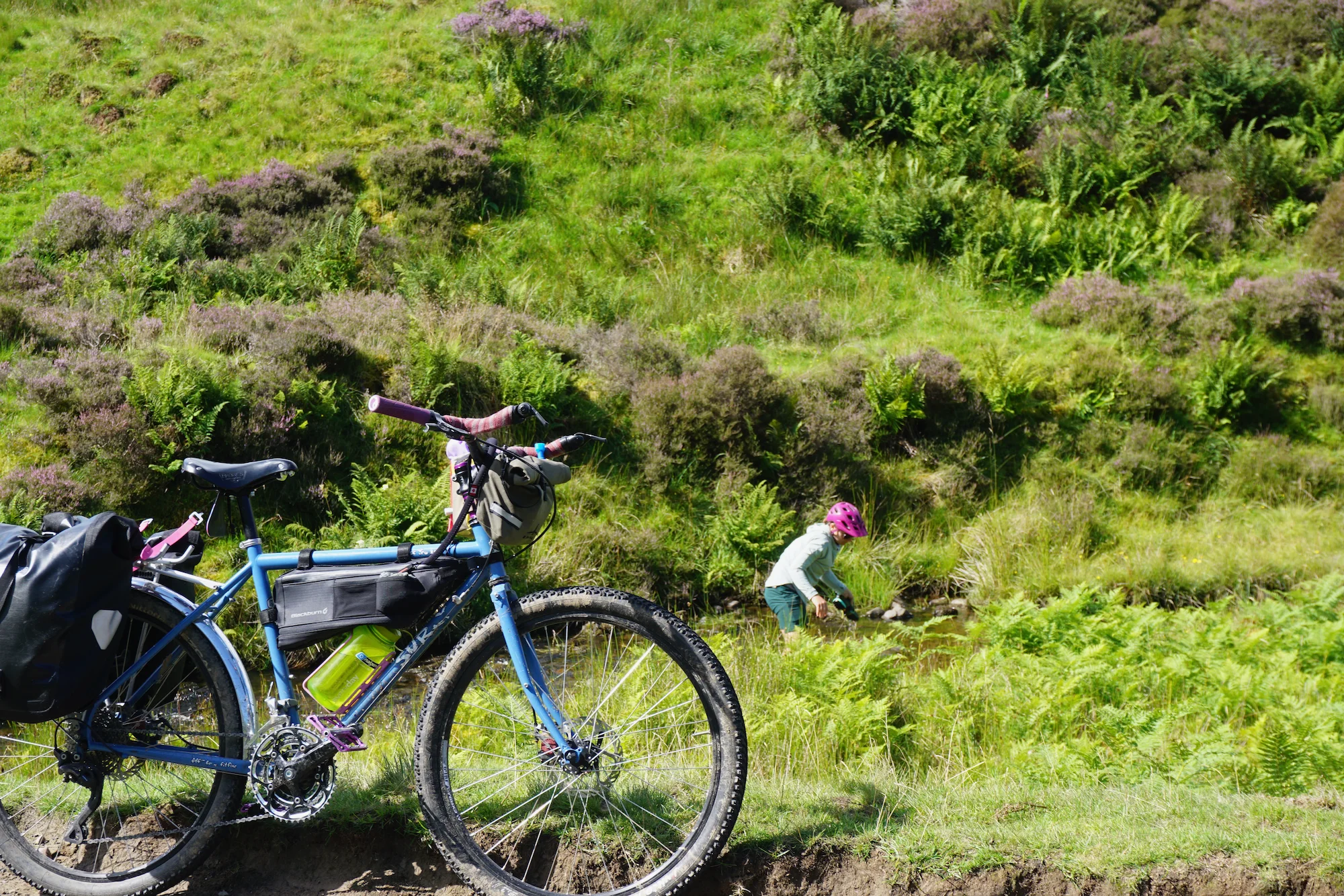
Along the way to Peebles, the morning dew and a nearby stream provided perfect opportunities to clean (most of) the mud and metaphorical bad decisions off of our feet, shoes, sandals, and bicycles.
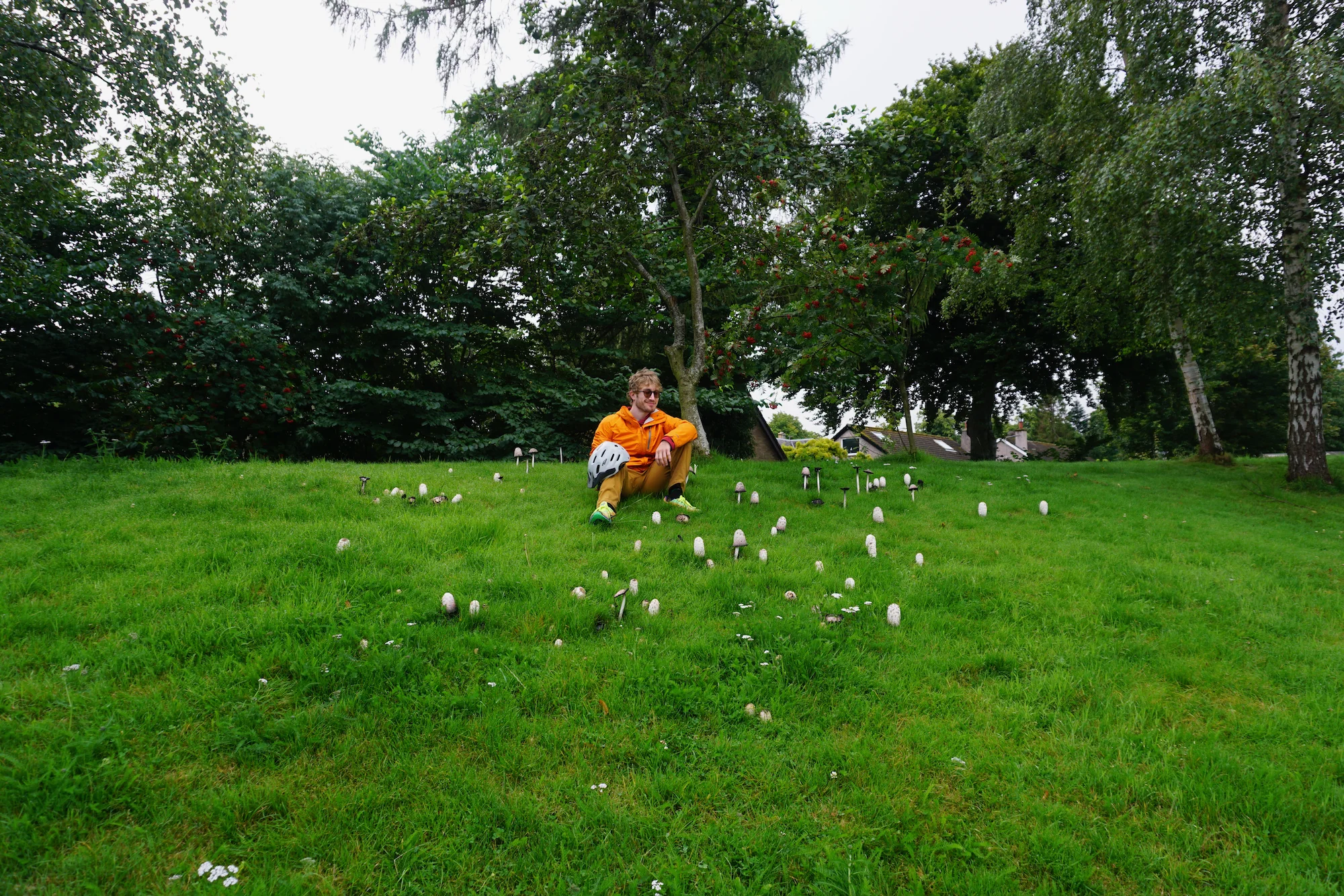
Along the way, we appreciated the mushrooms and wild rabbits of the moors.
And so, at a Costa Coffee in Peebles, we made the decision to route ourselves along traditional cycle routes, instead of the GB Divide.
!!! BIKE RANT BEGIN !!!
One last word I'd like to have on the GB Divide: it seems like a really cool route. For a mountain bike. Unfortunately, the GB Divide description on bikepacking.com says the following:
You’ll want a setup that rolls well but can handle the rough stuff… an adventure/gravel bike with 700c x 40mm tyres would be ideal
We can reassure you that most of the route is rideable but you will be pushing the bike from time to time
40mm tires are not ideal; both of our setups use tires over 2" (51mm) and we felt underbiked on the offroad bits. I would also argue that a giant steep field with no proper marked path isn't close to "rideable" and barely qualifies as "pushing the bike". And one final word: two of the most attractive sections of the trail -- riding over the Lambley Viaduct and riding over the Wayfarer's Traverse aren't even rideable anymore. And the Viaduct hasn't been thru-rideable since 2004. So the title image of the entire route is a lie, because Miles climbed up that viaduct for a photo, then back down to route around the closed viaduct.
We've done some intense routes and roads in Vermont, but there is a difference between "type 2 fun" riding on category 4 roads and singletrack and... cutting your way through unrideable countryside. Kudos to folks who enjoy the latter, but it seems we prefer the former. Fortunately, the UK's National Cycle Network is both ubiquitous and much better designed than the maligned US equivalent.
!!! BIKE RANT OVER !!!
From Peebles, we whizzed our way along a cycle route and rail trail to Interleithen, where we stopped at No1 Peebles Road for coffee and (you guessed it) a breakfast burrito.
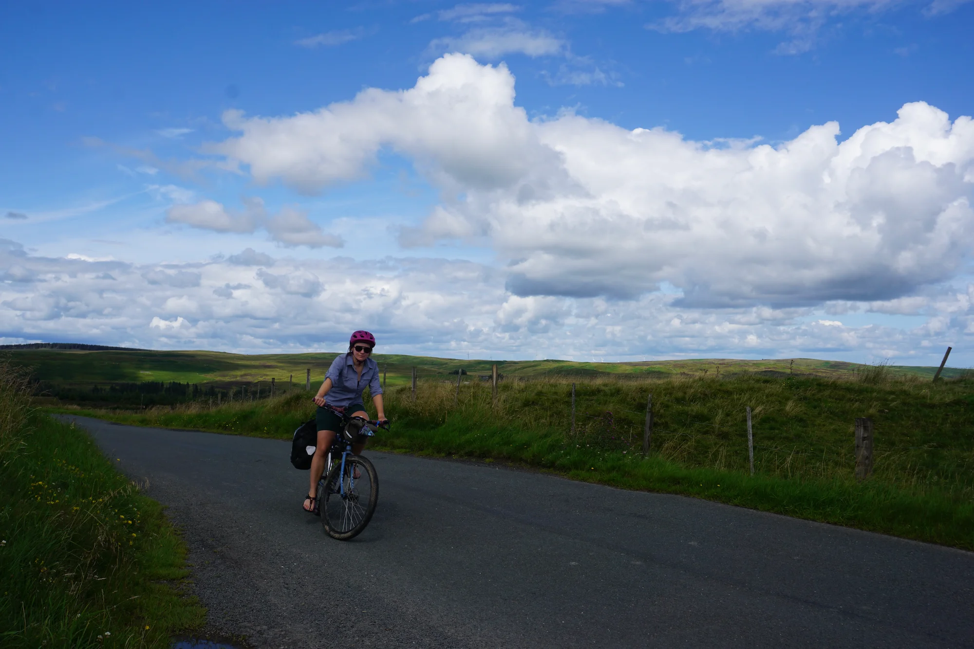
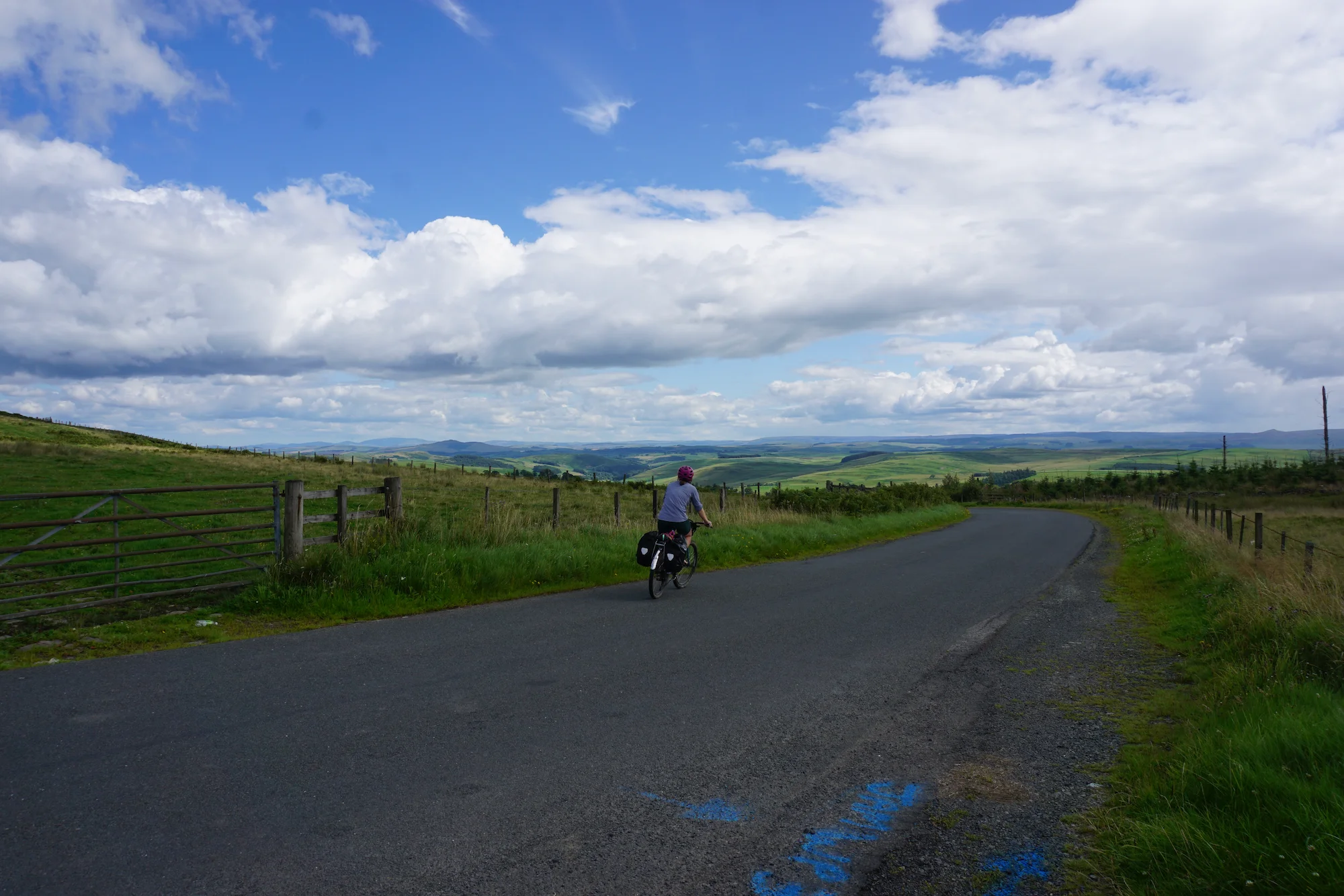
The coffee (a perfectly executed flat white and a long black) was excellent; the breakfast burrito was even better. And it was made from haggis, inadvertently checking the box of "try local food staples." From Interleithen, we made the choice to deviate from the cycle route network on a (heavily bicycle trafficked) backroad through sheep fields. The result? A nicely paced, not-too-steep uphill incline with gorgeous views, a pleasant breeze, plenty of sheep, and opportunities to wash our feet and bicycles in a mountain stream.
Our day proceeded swimmingly. The backroads we routed along turned out to be beautiful and incredibly low traffic.
We continued routing along quiet back roads until we reached Hawick, a town I'm pretty sure hides a terrible secret. It was very pretty, there were workers out literally masoning bricks onto pedestrian bridges as we rode through, and there were plenty of parks and businesses. But it was one of those unfortunate towns where every single business, without fail, kind of sucked. Nothing abysmally bad, just a lot of mediocrity. So many children in the park that it was a little stressful. But the museum in the park did have a nice bathroom, so it wasn't all a loss.
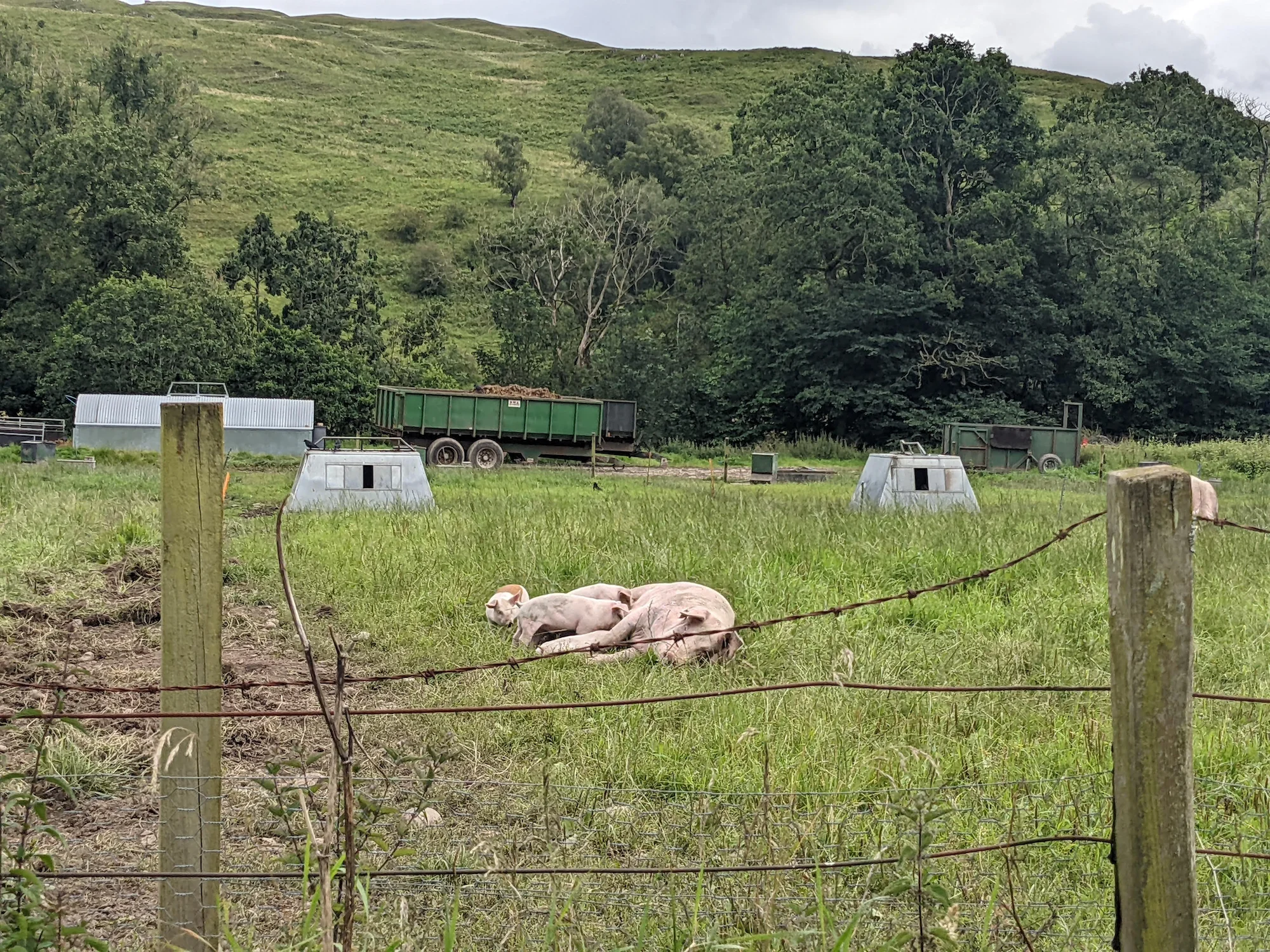
After Hawick, we got a taste of some of the worst roads of our entire route. They weren't bad or especially dangerous, just a little faster and busier than we liked (which, I suppose, goes to show just how good most of the cycleways were on our route). Fortunately, we soon passed a farm absolutely crawling with hundreds of fresh outta the womb piglets, and all of the sins of the busy road were forgotten.
Soon we broke out of the trees and found ourselves yet again on an empty sheep road. A farmer (and his trusty dog) herded hundreds of sheep through the very same field we were passing through.
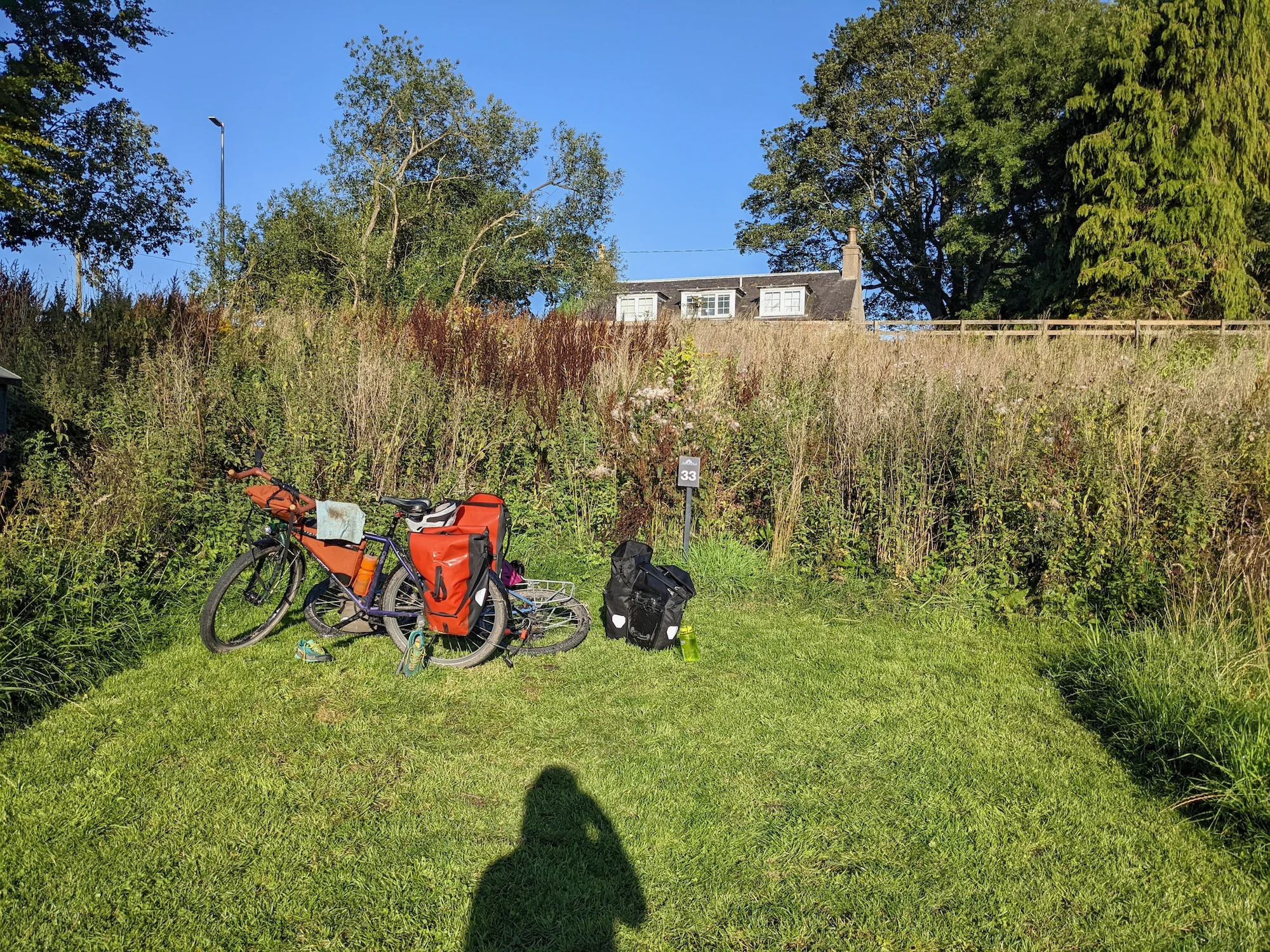
Eventually we made it to our campsite: a simple, but cheap and quiet caravan park. Next door, we found the Horse & Hound pub, where we enjoyed steak & ale pie, a chickpea & sweet potato curry, finished off with a fantastic sticky toffee pudding. With a bathroom nearby and conducive conditions for sleep, we both woke up rested and ready for another day of biking.
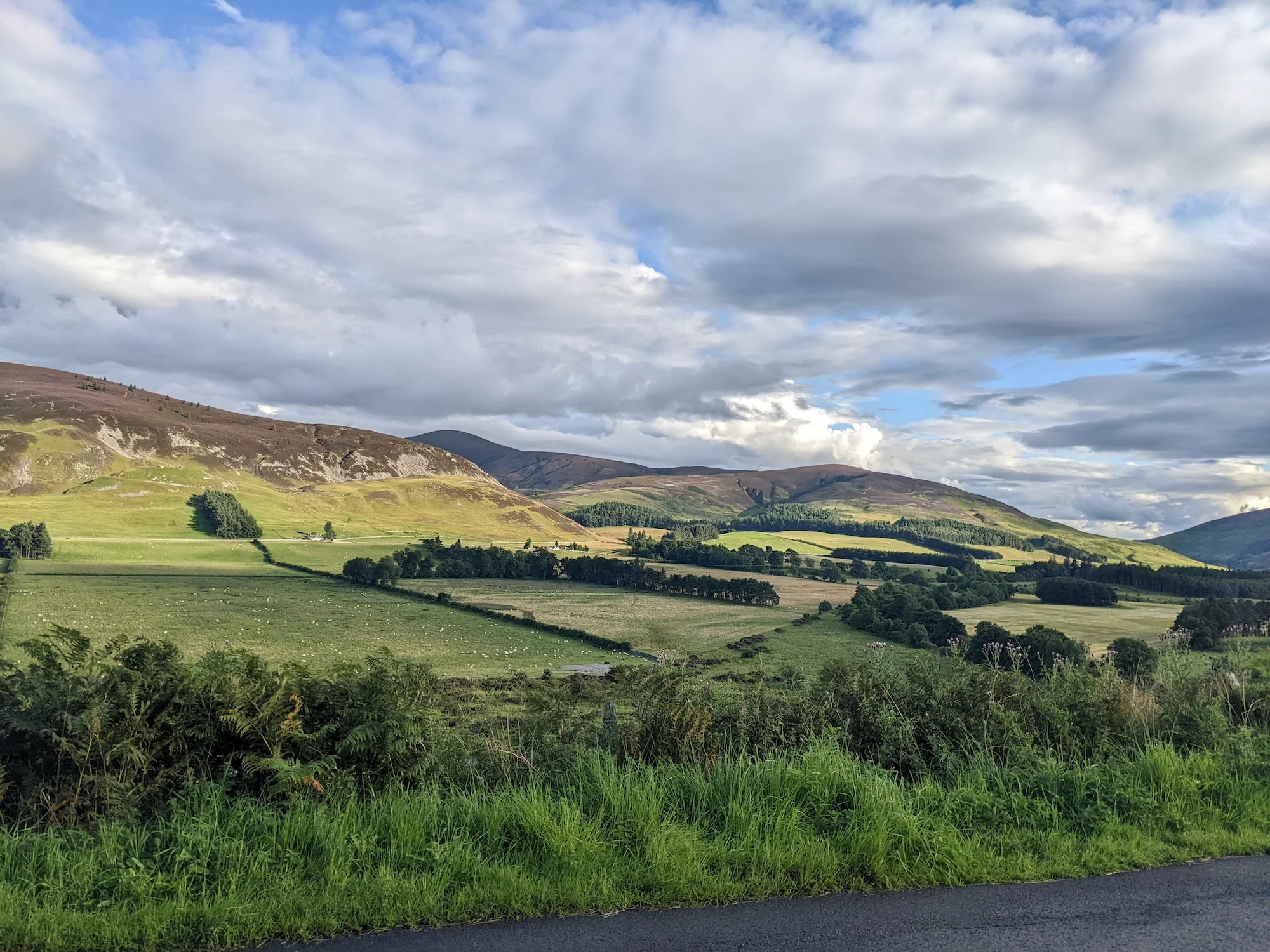
The next morning, we traveled up some steep (but quiet) roads through yet more stunning hills. At the top, a parking area (with special accommodation for camper vans) offered a nice opportunity for a snack break.
But the best part was the descent: at least 5 miles of long, rolling, relaxing downhill, and next to no traffic.
After the big descent, we wound through some more low (but treeless) valleys, one of which had a bit more traffic -- including a driver who seemed determined to kill both us and the oncoming motorcycle in the opposite lane. I guess they were in a hurry. But the traffic quickly evaporated and we had a nice chat with a farmer and his very excited farmdog, who repeatedly jumped off the back of his ATV, flopped onto the ground, approached us, and then got scared and ran away. Sad that we didn't get to enjoy any pats, but at least Peg was a cute dog, and her owner was very intrigued by our bicycle tour.
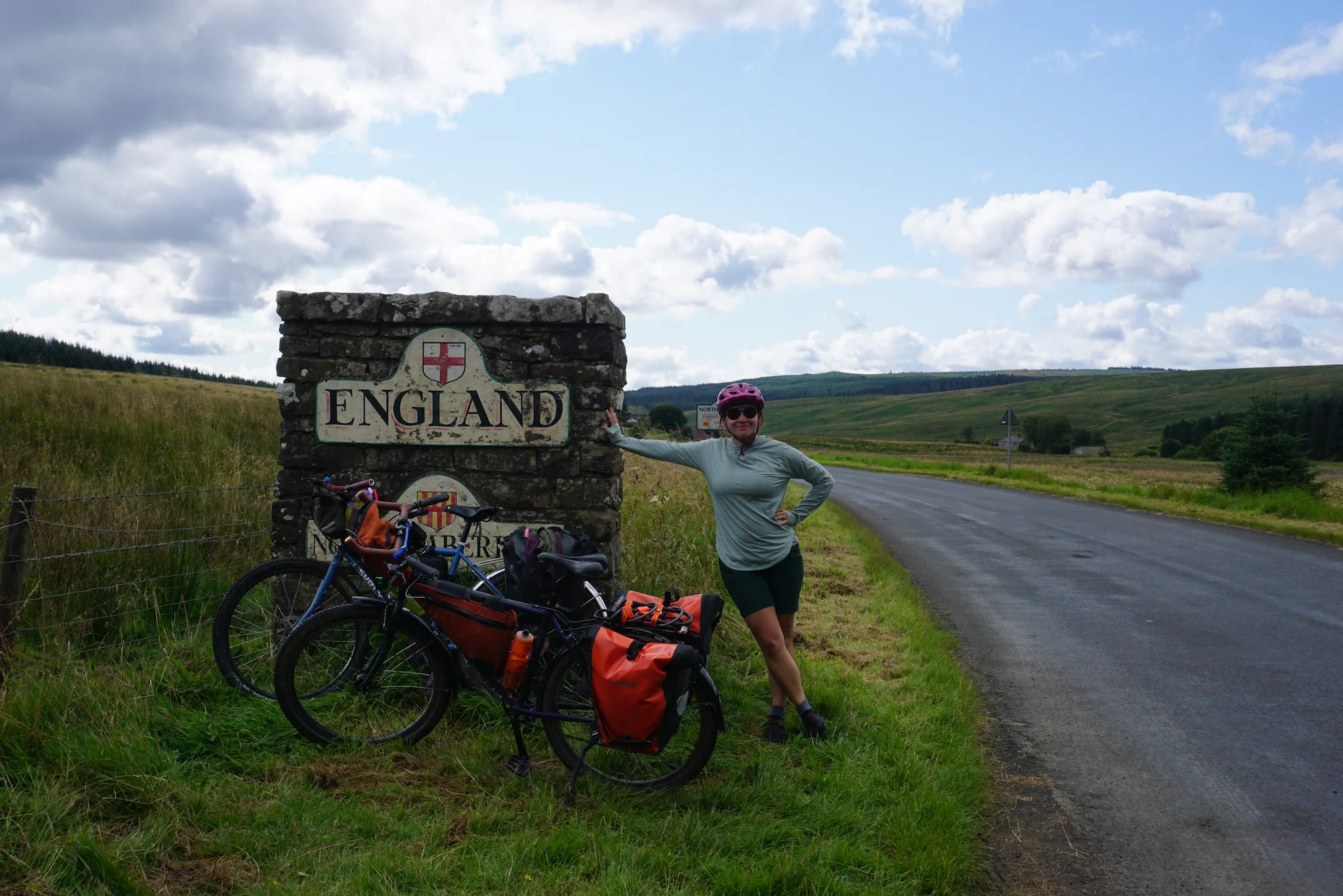
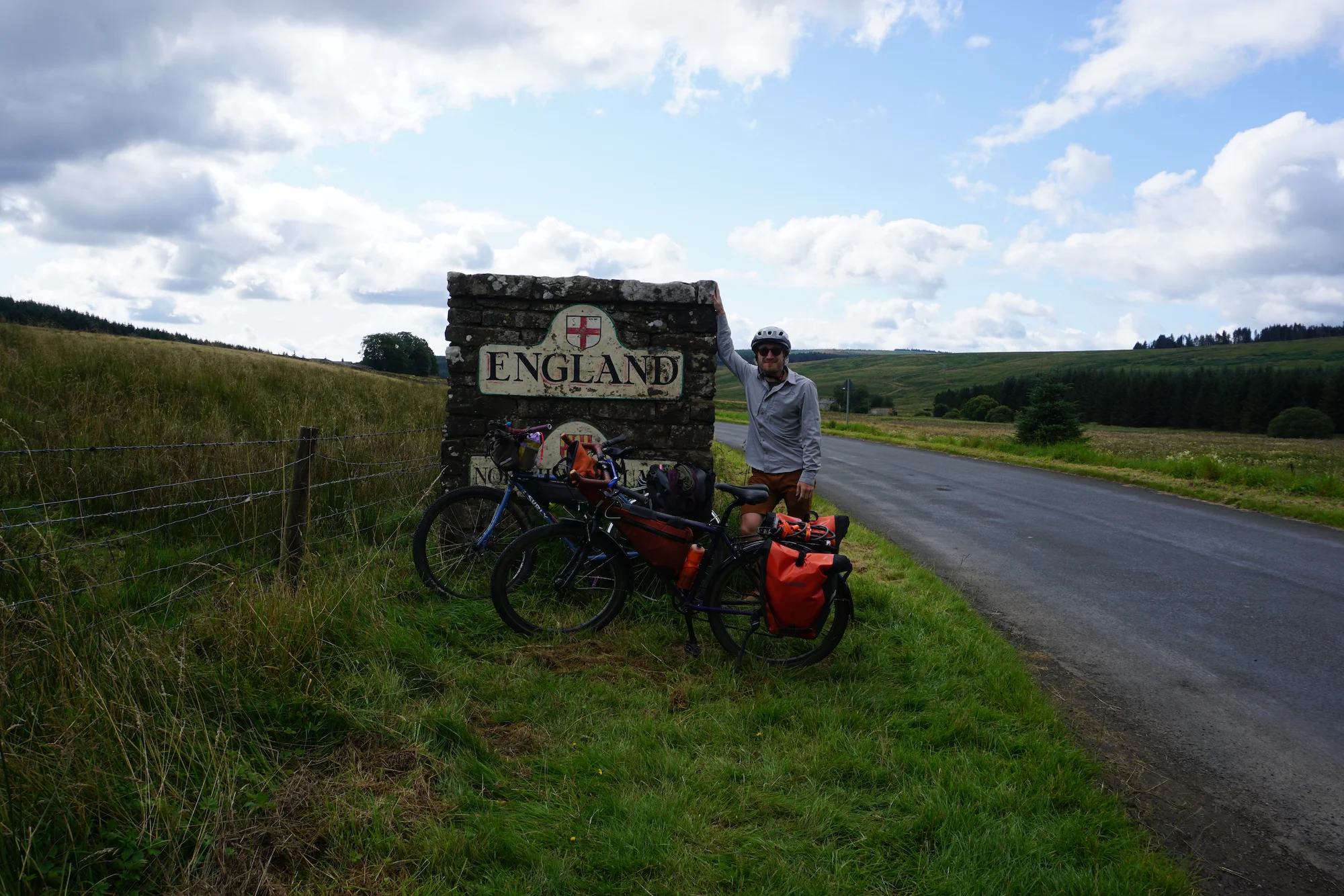
Then we entered a stand of trees, and when we emerged back into fields... we were in England! We were stunned to discover that even on a random backroad, England and Scotland have bothered to build substantial signs for photo ops.
Tune in next time to find out what happens once we leave Scotland and enter Her Majesty's realm. Will we be imprisoned in the Tower of London? Will the surveillance state get us down? Will infrastructure continue to impress us? You'll have to read on to find out.
When I get around to posting it, you can find Part 3 here.